What is recorded here
A house is marked on the Down Survey (1656-8) barony map of Forth at Woodtown (16), but a house is not listed at Woodtown on the terrier or commentary of parish map of Rosslare in NLI (ms, 725; microfilm, P 7384; N 6380) where Rowland Scurlocke owned 56 acres in 1640 (Simington 1953, 307). An ancestor of Rowland’s, also called Rowland Scurlocke, had been a physician to Queen Mary Tudor (1553-8) and had been awarded the manors of Rosslare and Ballymore for his service (Hore 1920, 91-3).) The precise location of this house is not known.
See the attached section of the Down Survey (1656-8) barony map (N at right) reproduced courtesy of the National Library of Ireland (Ms 725)
Compiled by: Michael Moore
Date of upload: 7 January, 2014
The monument record does not grant public access. Check the route and ask the landowner before entering private land.
- What survives
- Recorded monument
Places near here
 R.C. Chapel (in ruins)Chapel · 1.0 mi
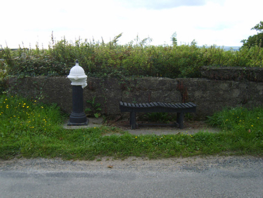 water pumpwater pump · 1.0 mi
 St. Helens WellHoly well · 1.0 mi
 Site of ChapelChurch · 1.1 mi
 BirdlifeVisitor information · 1.2 mi
 James Stevens Lifeboat MemorialMemorial · 1.2 mi
 Rosslare Strand BeachBeach / strand · 1.5 mi
 Marconi HouseMemorial · 1.7 mi
 Site of CastleCastle, unclassified · 1.7 mi
 Birdlife of RosslareVisitor information · 2.0 mi
 Ballyrane Castle (in ruins)Castle, tower house · 3.2 mi
 Johnstown Castle Visitor CentreHeritage attraction · 3.4 mi