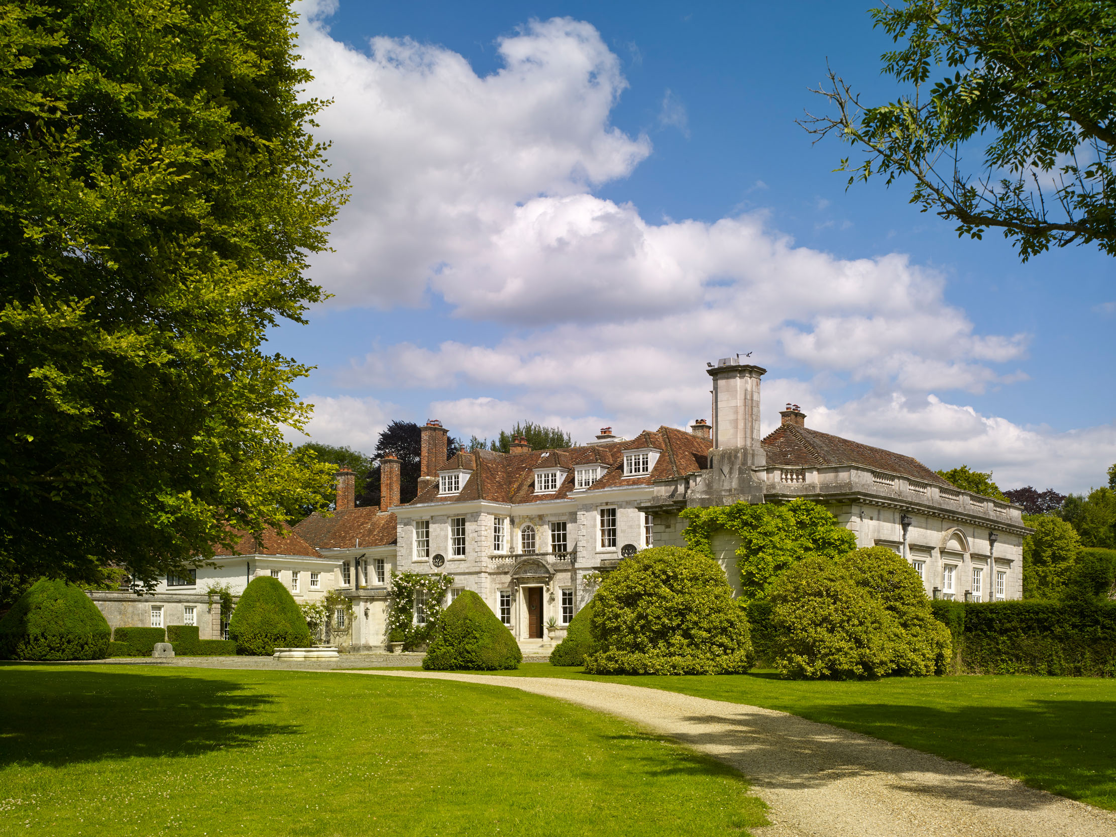
What is recorded here
Within Longford town (LF013-026----). Depicted on the Down Survey (1655-6) map of Ardagh barony (NLI, MS 719) as a large house, surrounded by a cluster of small buildings, located to the S of the Camlin River. It is also shown on the Down Survey (1655-6) map of Ballymacormac parish (ibid.). This may be the 'castle', noted by Lewis (1837 vol. 2, 309), that belonged to the Forbes family and which ‘was burned by the O’Nials in 1605’. Its precise location has not been identified but it may be in the area of Great Water Street, Little Water Street or the N part of Main Street.
Compiled by: Caimin O'Brien
Date of upload: 8 December 2012
The monument record does not grant public access. Check the route and ask the landowner before entering private land.
- What survives
- Recorded monument
Places near here
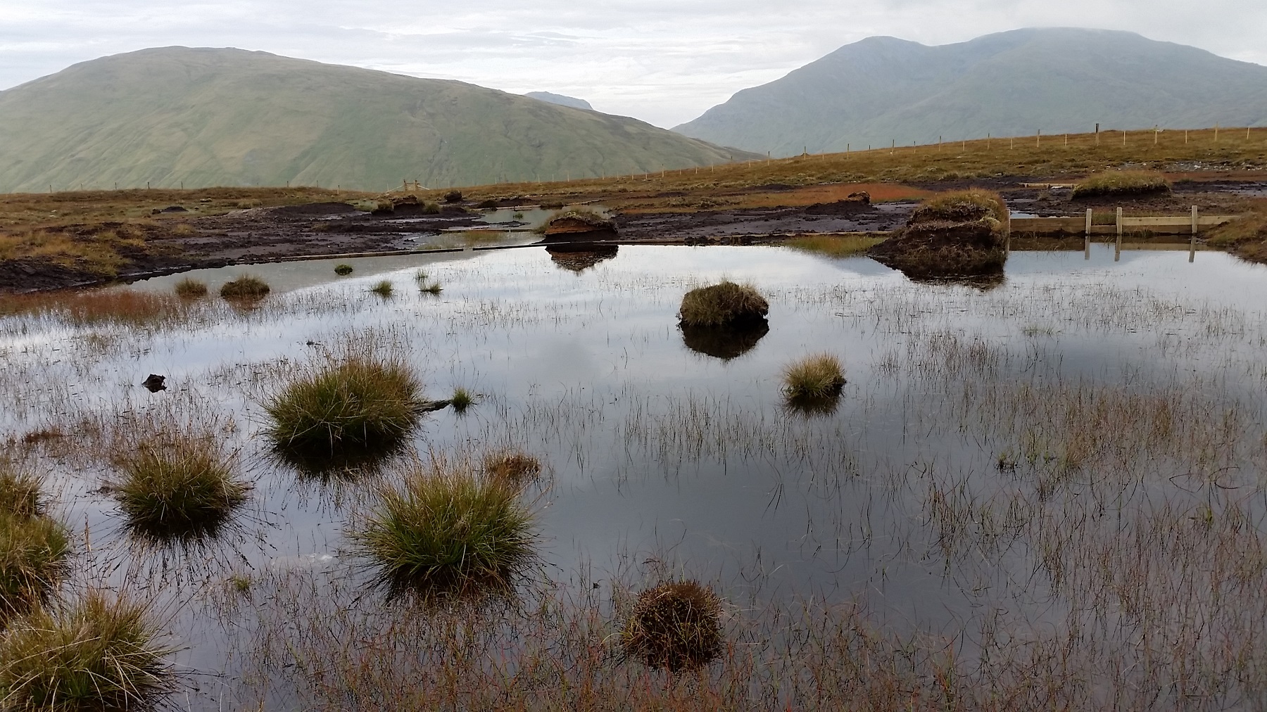 StructureStructure, peatland · 688 yd
 RoadRoad, class 3 togher · 713 yd
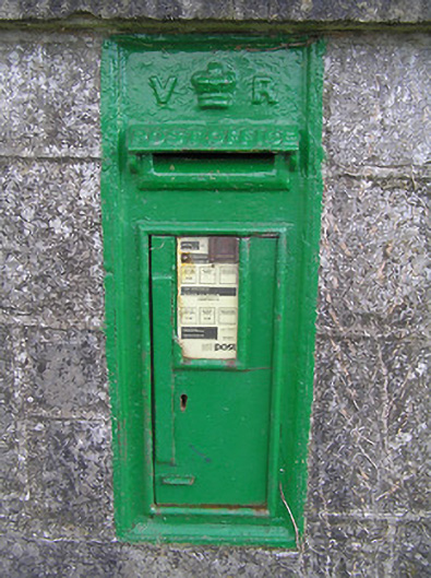 post boxpost box · 1381 yd
 Fulacht fia in Aghareagh (longford By.)Fulacht fia · 1.3 mi
 Bawn in AbbeycartronBawn · 2.3 mi
 First World War MemorialMemorial · 2.3 mi
 Graveyard in Curry (ardagh By., Coolamber Ed)Graveyard · 2.5 mi
 Saint Mel's CathedralCathedral · 2.5 mi
 Bawn in LissardowlanBawn · 5.6 mi
 Commons North WalkVisitor information · 6.5 mi
 Wild birdsVisitor information · 6.7 mi
 White Sand WoodWood · 7.1 mi
Other information
Photo: Credit not shown in the picture search · Rights wording not checked; contact us if this picture should be removed