What is recorded here
A house is marked on the Down Survey (1656-8) barony map of Forth at Moorestowne (Mauritiustown) and Rowstowne (Rosetown) (12), but it is not listed in the terrier or commentary of the parish map of Rosslare in NLI (ms, 725; microfilm, P 7384; N 6380) where Rowland Scurlocke owned 28 acres in 1640 (Simington 1953, 307). An ancestor of Rowland’s, also called Rowland Scurlocke, had been a physician to Queen Mary Tudor (1553-8) and had been awarded the manors of Rosslare and Ballymore for his service (Hore 1920, 91-3). The precise location of this house is not known.
Compiled by: Michael Moore
Date of upload: 7 January, 2014
The monument record does not grant public access. Check the route and ask the landowner before entering private land.
- What survives
- Recorded monument
Places near here
 Enclosure in SladEnclosure · 311 yd
 Site of R.C. ChapelChurch · 707 yd
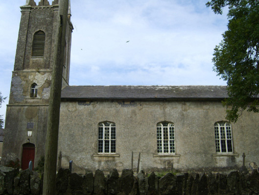 Saint Peter's Church (Kilscoran)church/chapel · 890 yd
 Kilscoran Rectoryrectory/glebe/vicarage/curate's house · 907 yd
 CastleCastle, tower house · 1395 yd
 Rosslare Harbour Maritime Heritage CentreMuseum · 1.6 mi
 Lady's IslandVisitor information · 1.8 mi
 TowerBawn · 1.9 mi
 ScargeenIsland · 2.0 mi
 The Fairy Stone/RockNamed rock · 2.4 mi
 InishIsland · 2.4 mi
 Birdlife of RosslareVisitor information · 2.4 mi