What is recorded here
A small house is represented on the Down Survey (1656-8) parish map of Ballybrennan in NLI (ms 725; microfilm P 7384, N 3680) at the centre of Rathdowney townland. This is the only reference to a second house in Rathdowney townland proper. Its precise location is not known.
Compiled by: Michael Moore
Date of upload: 8 January, 2014
The monument record does not grant public access. Check the route and ask the landowner before entering private land.
- What survives
- Recorded monument
Places near here
 Enclosure in SladEnclosure · 311 yd
 Site of R.C. ChapelChurch · 707 yd
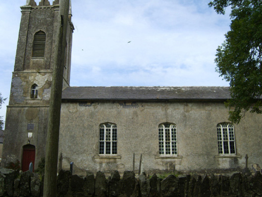 Saint Peter's Church (Kilscoran)church/chapel · 890 yd
 Kilscoran Rectoryrectory/glebe/vicarage/curate's house · 907 yd
 CastleCastle, tower house · 1395 yd
 Rosslare Harbour Maritime Heritage CentreMuseum · 1.6 mi
 Lady's IslandVisitor information · 1.8 mi
 TowerBawn · 1.9 mi
 ScargeenIsland · 2.0 mi
 The Fairy Stone/RockNamed rock · 2.4 mi
 InishIsland · 2.4 mi
 Birdlife of RosslareVisitor information · 2.4 mi