What is recorded here
This is thought to have been built by the Synnotts of Ballybrennan (WX048-001001-), and this is supported by the fact that Rathdowney is a detached part of Ballybrennan parish. In 1608 Joseph Synnott of Rathdowney was accounted one of the gentlemen of Forth, and he married Mary French of Ballytory (WX048-042----) in the same year. Walter Synnott possessed 80 acres at Rathdowney when he died in 1631 (Jeffrey 1979, 31). According to the Book of Survey and Distribution (1660s) Jasper Synnott owned 64 acres at Rathdowne and Forde in 1640 (Simington 1953, 303). This land was forfeited and 50 acres were granted to Edmond Highgate at Rathdowney (Jeffrey 1979, 31). A house is represented on the Down Survey (1656-8) barony map of Forth in the N part of Rathdowney. The precise location of this house is not known.
See the attached section of the Down Survey barony map (N at right) reproduced courtesy of the National Library of Ireland
Compiled by: Michael Moore
Date of upload: 14 January, 2014
The monument record does not grant public access. Check the route and ask the landowner before entering private land.
- What survives
- Recorded monument
Places near here
 Enclosure in SladEnclosure · 311 yd
 Site of R.C. ChapelChurch · 707 yd
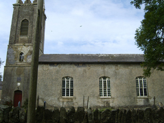 Saint Peter's Church (Kilscoran)church/chapel · 890 yd
 Kilscoran Rectoryrectory/glebe/vicarage/curate's house · 907 yd
 CastleCastle, tower house · 1395 yd
 Rosslare Harbour Maritime Heritage CentreMuseum · 1.6 mi
 Lady's IslandVisitor information · 1.8 mi
 TowerBawn · 1.9 mi
 ScargeenIsland · 2.0 mi
 The Fairy Stone/RockNamed rock · 2.4 mi
 InishIsland · 2.4 mi
 Birdlife of RosslareVisitor information · 2.4 mi