What is recorded here
A house or castle and what is probably a roofless house are marked on the Down Survey parish map (1656-8) of Kilmackilloge W and S of Gorey at what is now Ramstown Lower or Ramstown Upper. The location of this house is not known.
See the attached section of the Down Survey (1656-8) parish map (N at top right) reproduced courtesy of the National Library of Ireland (Ms 725)
Compiled by: Michael Moore
Date of upload: 12 April, 2012
Amended: 14 May, 2014
The monument record does not grant public access. Check the route and ask the landowner before entering private land.
- What survives
- Recorded monument
Places near here
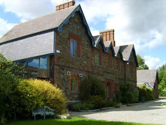 Gorey Union Workhouseworkhouse · 383 yd
 Ramsgate Househouse · 605 yd
 Fulacht fia in Ramstown LowerFulacht fia · 940 yd
 1798 MonumentMemorial · 1118 yd
 Gorey HillMountain / peak · 1129 yd
 Enclosure in Knockduff (ballaghkeen By., Courtown Ed)Enclosure · 1176 yd
 Market HouseHeritage attraction · 1554 yd
 Carriganeagh RockMountain / peak · 1.1 mi
 Barnadown WoodWood · 2.6 mi
 Ballingarry WoodForest · 3.0 mi
 Saint Brigid's WellSpring · 6.1 mi
 Blue SchoolMemorial · 7.1 mi