
What is recorded here
The manor of Rahale was granted to Sir Adam Loftus in 1619, who conveyed it to Richard Stafford. A castle with moat and drawbridge fed from the River Sow had been built by 1621 (Loeber and Stouthamer Loeber 1987, 28). According to the Civil Survey (1654-6) the ‘Stone house’ was in ruins but James Stafford owned 701 acres in the townlands of Rahale, Coolnamaine, and Oyle, probably Oilgate, in the part of Ballynaslaney parish in Ballaghkeen barony in 1641 (Simington 1953, 65). It may have been located on the moated site (WX032 010----), but otherwise it is unlocated. An armorial plaque (WX037-032044-) dated 1623 at St. Selskir's church (WX037-032009-) in Wexford town is interpreted as commemorating Richard Stafford and his wife Anstace Sutton (Hore 1900-11, vol. 5, 73-4).
The above description is derived from the published 'Archaeological Inventory of County Wexford' (Dublin: Stationery Office, 1996). In certain instances the entries have been revised and updated in the light of recent research.
Compiled by: Michael Moore
Date of upload/revision: 3 September, 2012
The monument record does not grant public access. Check the route and ask the landowner before entering private land.
- What survives
- Recorded monument
Places near here
 Embanked enlosureFairy fort / earthen ringfort · 594 yd
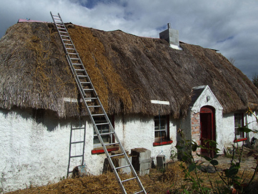 farm housefarm house · 899 yd
 (site of) St. Davids ChurchChurch · 1053 yd
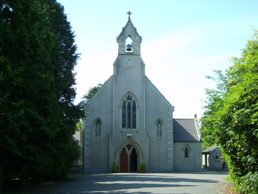 Saint David's Catholic Churchchurch/chapel · 1.1 mi
 Embanked enclosureCastle, motte · 1.3 mi
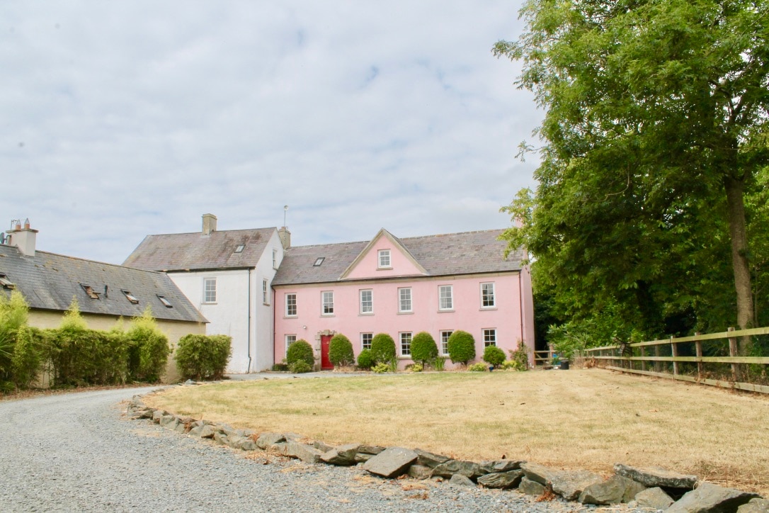 CastleCastle, tower house · 2.3 mi
 Eden ValeWood · 2.3 mi
 Peace GardenMemorial · 3.4 mi
 Celebrating 125 YearsMemorial · 3.4 mi
 Ballywish SouthForest · 3.5 mi
 Three Sisters River CruisesHeritage attraction · 5.4 mi
 Wexford Wildfowl ReserveHeritage attraction · 5.5 mi
Other information
Photo: Credit not shown in the picture search · Rights wording not checked; contact us if this picture should be removed