What is recorded here
A thatched stone house is recorded on the terrier of the Down Survey map of Killea parish (1655-56) at Lockane, and a building is marked on the Down Survey barony map of Gaultier at 'Lorane'. It remains unlocated.
Compiled by: Michael Moore
Date of upload/revision: 10 June 2011
The monument record does not grant public access. Check the route and ask the landowner before entering private land.
- What survives
- Recorded monument
Places near here
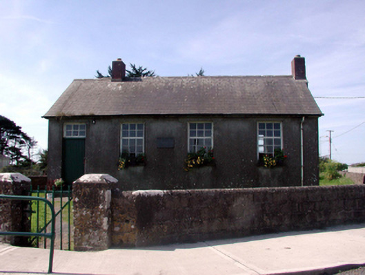 Killea National SchoolOfficially recorded historic building · 486 yd
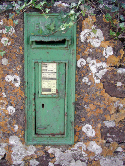 Historic buildingOfficially recorded historic building · 527 yd
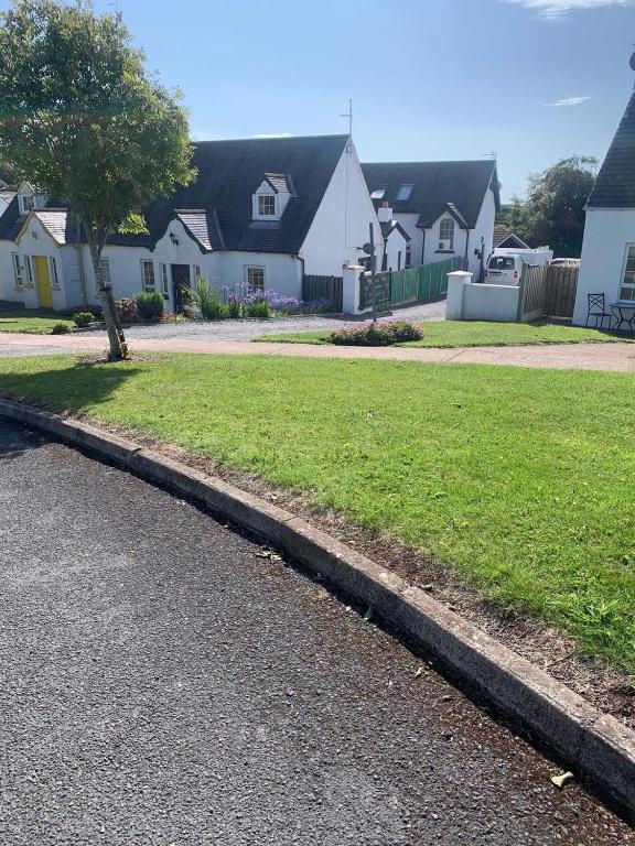 Grave YardGraveyard · 654 yd
 Fairy Bush LoopWalking route · 729 yd
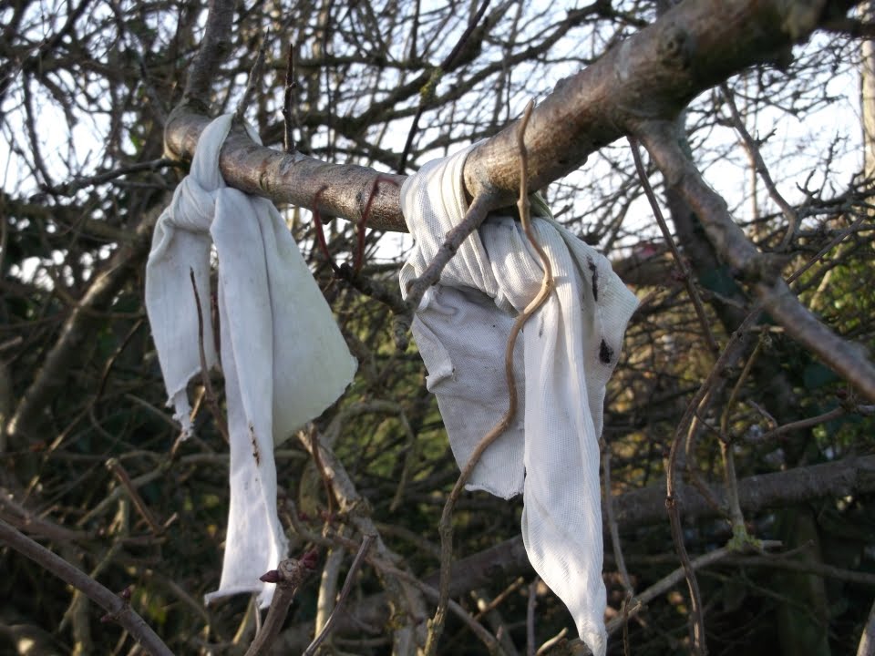 Fairy bushRitual site, holy tree/bush · 1295 yd
 Fairy Bush Forenaught LoopWalking route · 1329 yd
 Councillors StrandBeach / strand · 1.1 mi
 Castle in ruinsCastle, Anglo-Norman masonry castle · 1.2 mi
 Ladies CoveBeach / strand · 1.2 mi
 Lost at Sea Memorial WallMemorial · 1.7 mi
 Knockavelish HeadHeadland · 1.8 mi
 South East Coastal DriveVisitor information · 2.3 mi