What is recorded here
A cabin is marked on a Bateman map of 1717 at Killeenagh South (NLI: ms. 6148, 4), towards the E edge of the townland. It remains unlocated.
Compiled by: Micahel Moore
Date of upload: 05 October 2011
The monument record does not grant public access. Check the route and ask the landowner before entering private land.
- What survives
- Recorded monument
Places near here
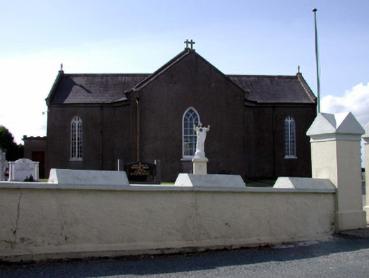 Catholic Church of the Sacred Heartchurch/chapel · 1151 yd
 presbytery/parochial/curate's housepresbytery/parochial/curate's house · 1192 yd
 Grave YardGraveyard · 1.6 mi
 Fulacht fia in CrosseryFulacht fia · 1.9 mi
 Dromore WoodWood · 2.8 mi
 Kilnacarriga Castle (in ruins)Castle, unclassified · 3.1 mi
 European ashEuropean ash · 3.9 mi
 Molana AbbeyHeritage attraction · 4.0 mi
 (Site of) CastleCastle, tower house · 4.1 mi
 Dromona HillMountain / peak · 4.2 mi
 Clashmore Heritage CentreHeritage attraction · 4.8 mi
 St Bridget's WellSpring · 5.0 mi