What is recorded here
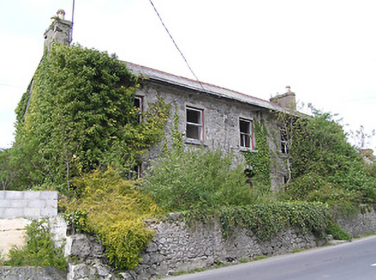
According to the Civil Survey (1654-6) 'James Tobyn of Killaghy Irish Papist' owned in Killaghy in 1640 a castle (TS063-027001-) and bawn (TS063-027003-) with 'two thatcht houses within the same' (Simington 1931, vol. 1, 136). The present T-plan, two-storey, five-bay house adjoining the W wall of the tower house (TS063-027001-) was built c. 1760 and was remodelled in the 19th century (National Inventory of Architectural Heritage). The two houses referred to in the Civil Survey are unlocated within the vicinity of the tower house.
Compiled by: Jean Farrelly
Date of revised upload: 18 April 2012
The monument record does not grant public access. Check the route and ask the landowner before entering private land.
- What survives
- Recorded monument
Places near here
 Killaghy Castlecountry house · 131 yd
 The BarracksRIC barracks · 632 yd
 Saw Mill (site of)Archaeological place · 679 yd
 Enclosure in Modeshil (ayre)Enclosure · 715 yd
 St. Johns Monastery (in ruins)Castle, hall-house · 797 yd
 Fenane WoodForest · 981 yd
 Modeshil Castle (in ruins)Castle · 2.2 mi
 Knockuragh HillMountain / peak · 2.4 mi
 Silver FirSilver Fir · 2.4 mi
 The SpoutMemorial · 3.7 mi
 Killamery High CrossVisitor information · 4.0 mi
 KillameryVisitor information · 4.0 mi