What is recorded here
There were 'good habitations' in Kilgabriel at the time of the Civil Survey (1654-6) that had been owned by Sir Nicholas Walshe of Ballykeeroge (WA023-035001-) in 1641 (Simington 1942, 31). They remain unlocated.
Simington, R. C. (ed.) (1942) The Civil Survey AD 1654-1656, vi, the County of Waterford. Irish Manuscripts Commission. Dublin.
Compiled by: Michael Moore
Date of upload: 07 October 2011
The monument record does not grant public access. Check the route and ask the landowner before entering private land.
- What survives
- Recorded monument
Places near here
 Site of ChurchChurch · 456 yd
 Glebe Housegate lodge · 1320 yd
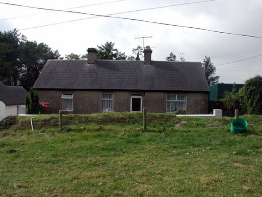 farm housefarm house · 1472 yd
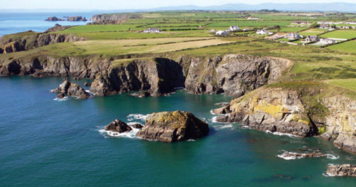 Embanked enclosureFairy fort / ringfort · 1614 yd
 Clashmore Heritage CentreHeritage attraction · 1.1 mi
 Castle (in ruins)Castle, tower house · 1.4 mi
 Kilmaloo LoughWood · 1.5 mi
 D'Loughtane WoodForest · 2.8 mi
 St Bridget's WellSpring · 3.1 mi
 Youghal Foxhole Loop walkWalking route · 3.8 mi
 Templemichael Castle (in ruins)Castle, tower house · 3.9 mi
 Molana AbbeyHeritage attraction · 3.9 mi