What is recorded here
The terrier accompanying the Down Survey (1655-6) parish map of ‘St Patricks Parish’ (Hibernia Regnum, courtesy of Trinity College Dublin) notes, ‘in Kilcrine also a Castle & Bawn an orchard and many Cabbins’. The proprietor in 1640 is listed as ‘David Rooth Ir[ish] P[apist]’. The cabins are not drawn on the accompanying parish map. The location of these houses within Kilcreen townland is unknown.
See attached extract from the Down Survey (1655-6) terrier accompanying the parish map of ‘St Patricks Parish’ (Hib. Reg., courtesy of Trinity College Dublin)
Compiled by: Jean Farrelly
Date of upload: 22 September 2020
The monument record does not grant public access. Check the route and ask the landowner before entering private land.
- What survives
- Recorded monument
Places near here
 Bawn in Kilcreen (shillelogher By.)Bawn · 140 yd
 European ashEuropean ash · 244 yd
 Kilcreen Lodgehouse · 587 yd
 Bawn in Gardens (kilkenny City By., St. John's Par.)Bawn · 614 yd
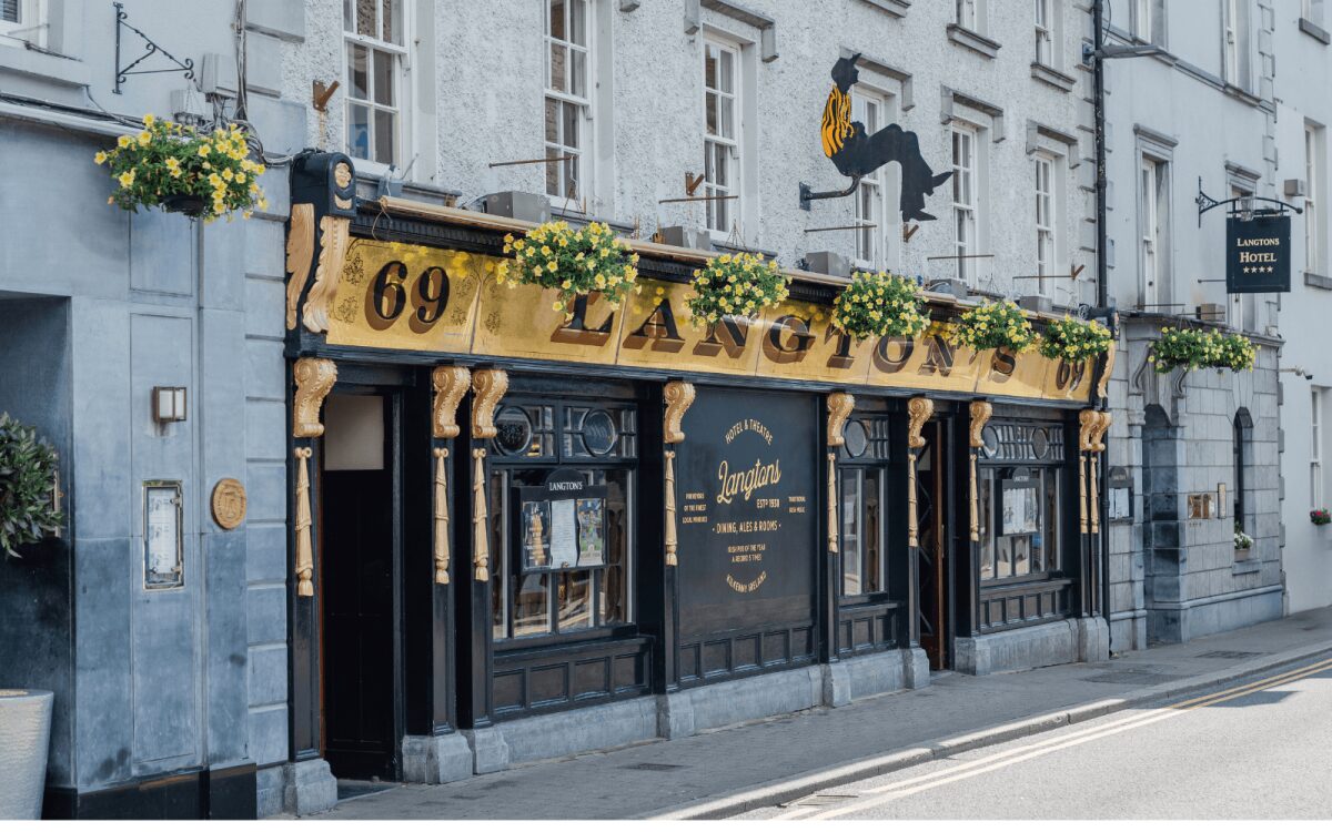 Dicksborough Ringfort (rath)Archaeological place · 616 yd
 Enclosure in Kilcreen (crannagh By.)Enclosure · 654 yd
 Paddy ButlerMemorial · 1208 yd
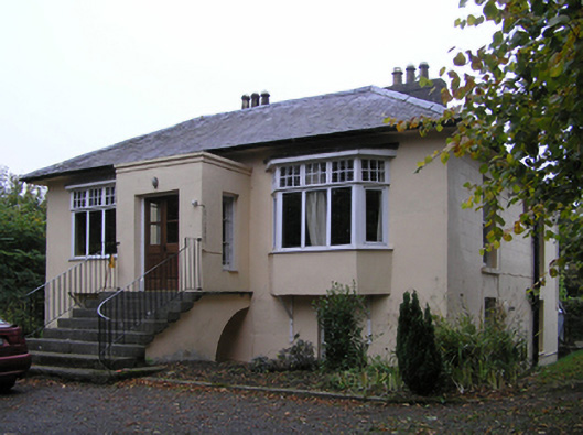 Blunden Villahouse · 1295 yd
 Kilkenny GaolMemorial · 1342 yd
 Black AbbeyVisitor information · 1493 yd
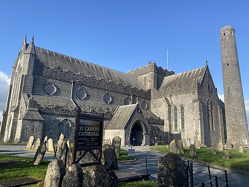 St. Canice's CathedralVisitor information · 1567 yd
 Saint Canice's Cathedral Round TowerViewpoint · 1618 yd