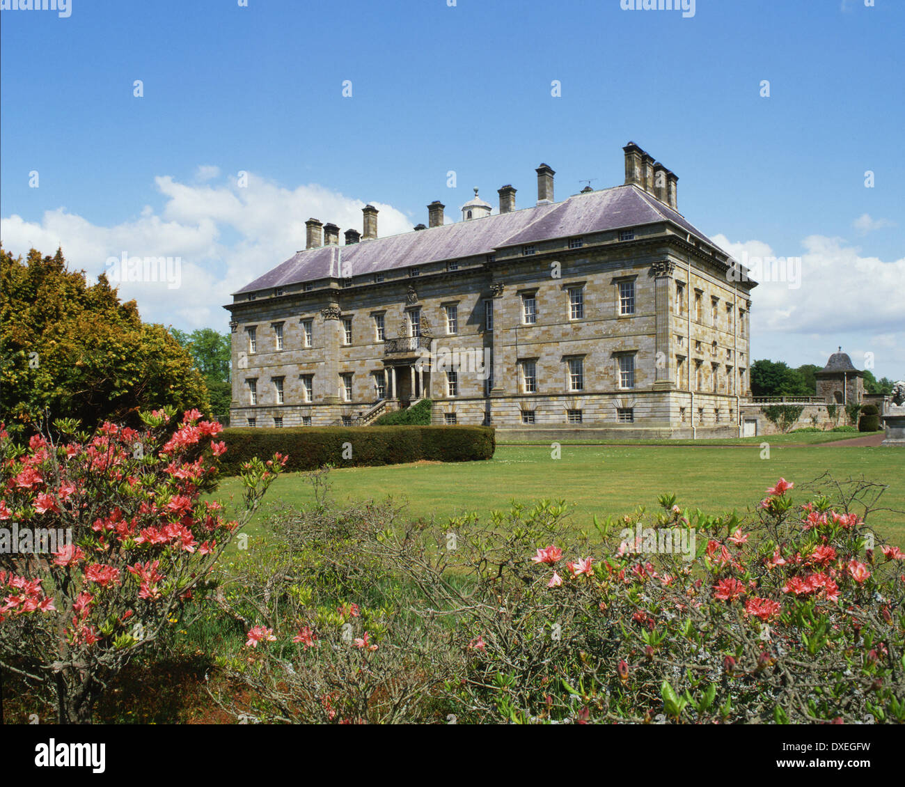
What is recorded here
A house is marked on the Down Survey map (1655-8) in NLI (ms 725; microfilm P 7384, N 6380) of Rathaspick parish in glebeland that is now in Kellystown townland. Its precise location is not known.
See the attached section of the Down Survey (1656-8) parish map (N at top) reproduced courtesy of the National Library of Ireland (Ms 725)
Compiled by: Michael Moore
Date of upload: 27 May, 2013
The monument record does not grant public access. Check the route and ask the landowner before entering private land.
- What survives
- Recorded monument
Places near here
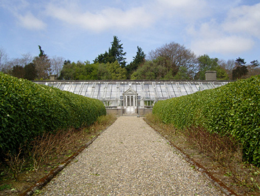 Johnstown Castleglass/green house · 505 yd
 Dawn RedwoodDawn Redwood · 571 yd
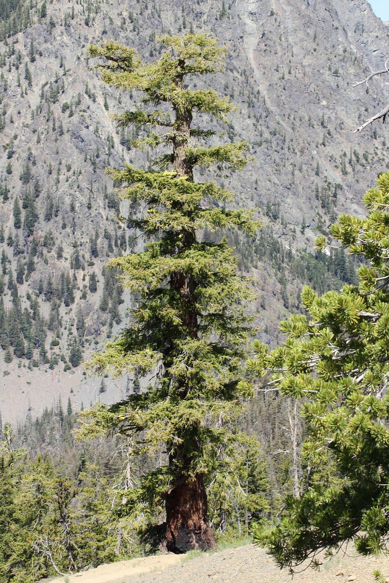 Douglas-firDouglas-fir · 688 yd
 CastleCastle, tower house · 783 yd
 graveyard/cemeterygraveyard/cemetery · 816 yd
 St. Davins WellHoly well · 824 yd
 Irish Agricultural MuseumMuseum · 937 yd
 Johnstown Castle Visitor CentreHeritage attraction · 966 yd
 Font in RathaspickFont · 1349 yd
 Castle (in ruinis)Castle, tower house · 1.8 mi
 16th Irish DivisionMemorial · 2.1 mi
 CarrickadeeMountain / peak · 2.4 mi
Other information
Photo: Credit not shown in the picture search · Rights wording not checked; contact us if this picture should be removed