What is recorded here
The Down Survey (1655-6) barony map of Fassadining depicts three substantial houses (KK014-076001-; KK014-076002-; KK014-076003-) in a rough N-S alignment in the S portion of Jenkinstown townland (Hibernia Regnum, courtesy of Trinity College Dublin). They are not depicted on the parish map, however, in the terrier accompanying this map the ‘Earle of Ormond Ir[ish’ pa[pist]’ is listed as the proprietor in 1640 and the properties are listed as, ‘Some Cabbins and a Castle at Jenkinstowne’. The precise location of these houses within the townland is unknown.
See attached:
KK014-076003-_01 Extract from Down Survey (1655-6) barony map of Fassadining
KK014-076003-_02 Extract from terrier accompanying the Down Survey (1655-6) parish map
Compiled by: Jean Farrelly
Date of upload: 15 June 2020
The monument record does not grant public access. Check the route and ask the landowner before entering private land.
- What survives
- Recorded monument
Places near here
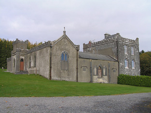 Jenkinstown Housechurch/chapel · 373 yd
 Jenkinstown ParkForest · 580 yd
 Church in JenkinstownChurch · 782 yd
 Saint Coleman's WellSpring · 980 yd
 Enclosure in Kirwan's InchEnclosure · 1083 yd
 Enclosure in Springhill (fassadinin By.)Enclosure · 1164 yd
 Trinity WellSpring · 1209 yd
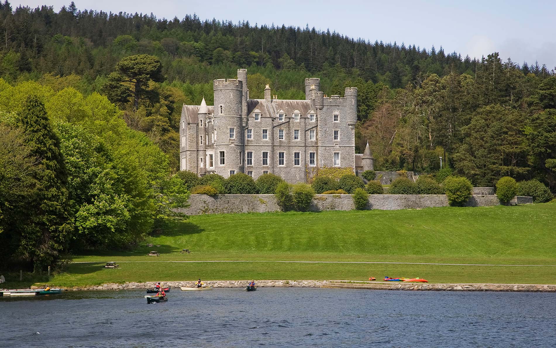 CastleCastle, unclassified · 1520 yd
 Ardaloo Castle (in ruins)Castle, unclassified · 1.4 mi
 Mohil GraveyardArchaeological place · 1.5 mi
 Dunmore CavesCave · 1.8 mi
 Cave of DunmoreCave · 1.8 mi