What is recorded here
Three houses are marked on the Down Suvery (1656-8) parish map of St. Iberius’ parish in NLI (ms 725; P 7384; N 6380) at Grange. According to the Book of Survey and Distribution (1660s) 68 acres at Grange were owned by Nicholas Turner in 1640, together with 160 acres at Reamore (Rathmore), Killshogh (Kisha), and Gragelmore and Blackhale (Glaglig, and Aughmore), in the same parish (Simington 1953, 305). A Margaret Turner of Co. Wexford was awarded 400 acres in Connaught in 1656 (Hore 1900-11, vol. 6, 505). The precise location of this house is not known.
Compiled by: Michael Moore
Date of upload: 7 January, 2014
The monument record does not grant public access. Check the route and ask the landowner before entering private land.
- What survives
- Recorded monument
Places near here
 Field system in Aughmore (forth By.)Field system · 559 yd
 Enclosure in Aughmore (forth By.)Enclosure · 614 yd
 Church in ruinsChurch · 663 yd
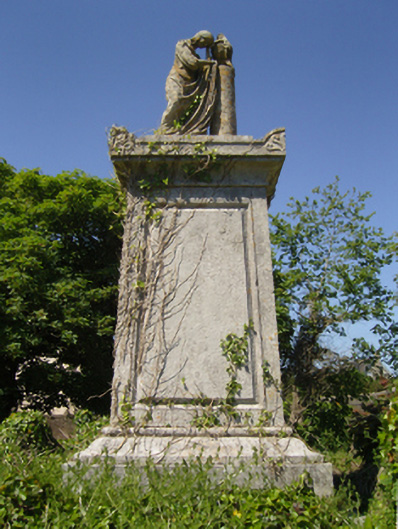 Saint Iberius's Graveyardmausoleum · 676 yd
 Lady's IslandVisitor information · 1476 yd
 TowerBawn · 1591 yd
 ScargeenIsland · 1616 yd
 CastleCastle, tower house · 1.3 mi
 InishIsland · 1.4 mi
 Shernock Hill/Knocks HillMountain / peak · 1.9 mi
 Carne BeachBeach / strand · 2.2 mi
 Rosslare Harbour Maritime Heritage CentreMuseum · 2.2 mi