What is recorded here
According to the Civil Survey (1654-6) in 'Garyroe' there 'stands a little stone house, an old thatcht house, with a chemny without repaire, an orchard and some cabbins' which in 1640 was under the proprietorship of 'Morrish Keatinge of Loghlochry Gent: Irish Papist' (Simington 1931, vol. 1, 336). Garyroe has been identified with the townlands of Garryroe, Gormanstown and Kilballygorman and the houses remains unlocated within these townlands.
Compiled by: Jean Farrelly
Date of upload: 26 August 2011
The monument record does not grant public access. Check the route and ask the landowner before entering private land.
- What survives
- Recorded monument
Places near here
 Enclosure in Ballyboy EastEnclosure · 678 yd
 Bawn in Ballyboy EastBawn · 989 yd
 Enclosure in CastlegraceEnclosure · 1037 yd
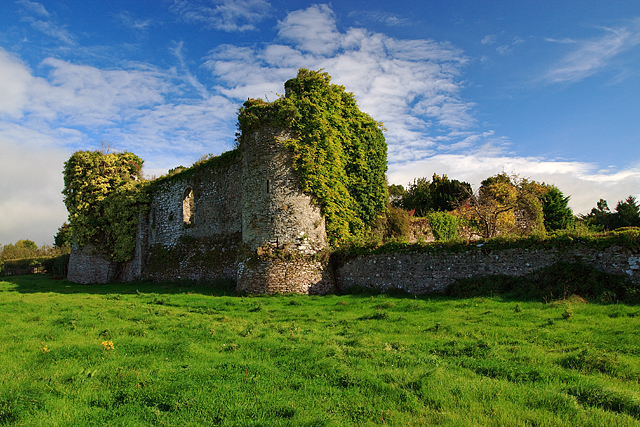 Castle Grace (in ruins)Castle, Anglo-Norman masonry castle · 1403 yd
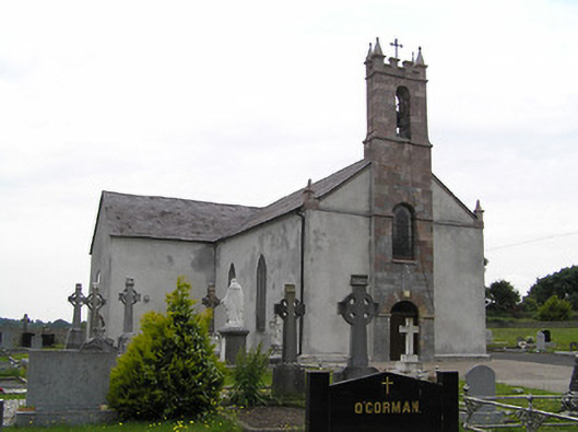 Catholic Church of Saint John the Baptistchurch/chapel · 1411 yd
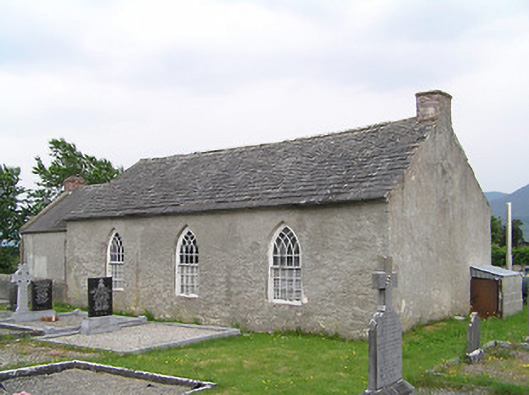 Castlegrace National Schoolschool · 1421 yd
 Bohernagore WoodForest · 1.9 mi
 The VeeViewpoint · 2.4 mi
 Grubb’s GraveMemorial · 2.5 mi
 Sweet ChestnutSweet Chestnut · 3.1 mi
 KnocknaloughaMountain / peak · 3.3 mi
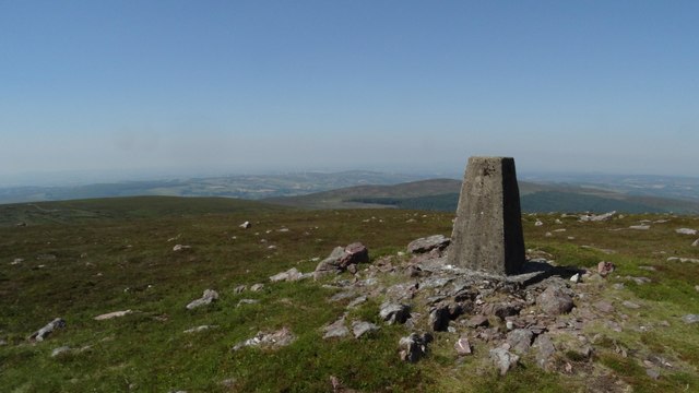 KnockshanahullionMountain / peak · 3.3 mi
Other information
Photo: Credit not shown in the picture search · Rights wording not checked; contact us if this picture should be removed