What is recorded here
According to the terrier or commentary of the Down Survey (1656-8) parish map of Tacumshin in NLI (ms 725; microfilm P 7384; N 6380) there is a slate house at Furziestown, which is not marked on the Down Survey map. Its location is not known. (Hore 1949, 28)
Compiled by: Michael Moore
Date of upload: 14 April, 2014
The monument record does not grant public access. Check the route and ask the landowner before entering private land.
- What survives
- Recorded monument
Places near here
 Wind MillWindmill · 249 yd
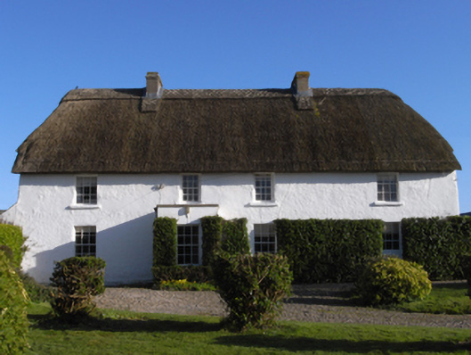 farm housefarm house · 958 yd
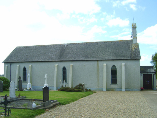 Saint Catherine's Catholic Churchchurch/chapel · 1041 yd
 Windmill (Corn) (Disused)Windmill · 1115 yd
 Castle (in ruins)Castle, tower house · 1274 yd
 CastleHouse, fortified house · 1327 yd
 InishIsland · 1.2 mi
 Sigginstown Island (Great)Island · 1.2 mi
 Wilson's MoorWood · 1.5 mi
 The HamBay · 1.7 mi
 Lady's IslandVisitor information · 1.7 mi
 The Chour / The Hill of the ChourMountain / peak · 1.8 mi