What is recorded here
There are no visible remains surviving of a large house which is indicated close to the church (KK024-068004-) and castle (KK024-068008-) in Dungarvan on a Down Survey map (1655-6) (Farrelly et al. 1993, 134). The precise location of this house is unknown.
Compiled by: Jean Farrelly
Date of upload: 29 April 2021
This remains an important historical record, but the official description says the monument is no longer visible or has been destroyed. The monument record does not grant public access. Check the route and ask the landowner before entering private land.
- What survives
- No visible remains or recorded as destroyed
Places near here
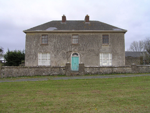 rectory/glebe/vicarage/curate's houserectory/glebe/vicarage/curate's house · 458 yd
 Enclosure in Dungarvan GlebeEnclosure · 534 yd
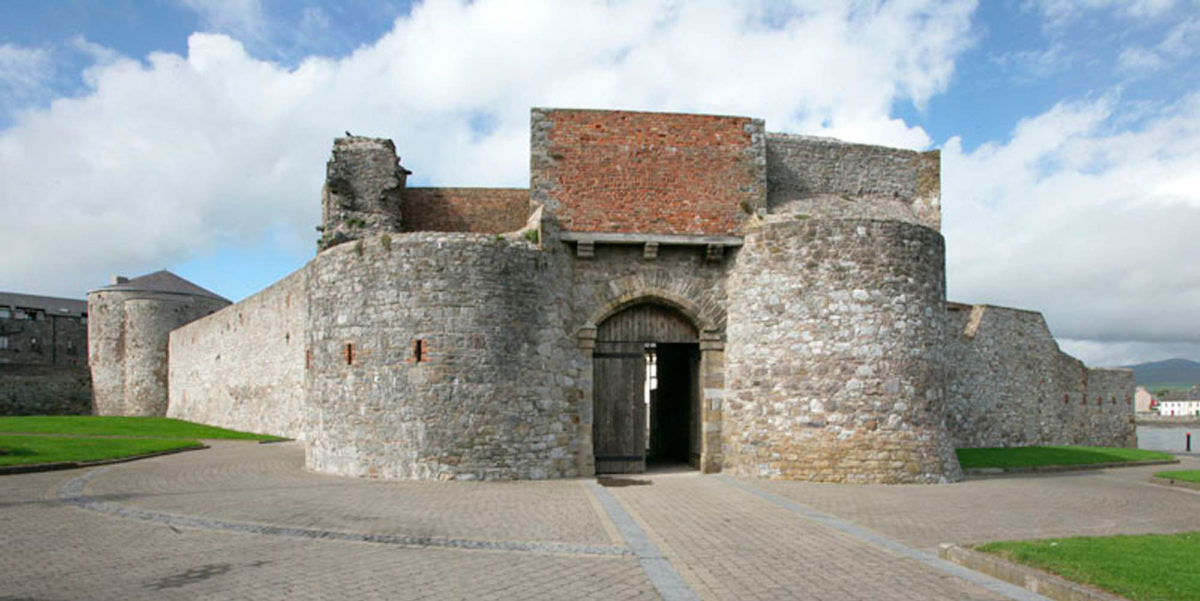 Site of Dungarvan CastleCastle, tower house · 607 yd
 Dungarvan Churchchurch/chapel · 660 yd
 Enclosure in Dungarvan (gowran By., Bennettsbridge Ed)Enclosure · 682 yd
 CastleCastle, motte · 770 yd
 Red BogForest · 821 yd
 BogForest · 1.1 mi
 Tullaherin Church and Round TowerVisitor information · 1.9 mi
 Kilbline GraveyardArchaeological place · 2.9 mi
 Time CapsuleMemorial · 3.8 mi
 St. Mogarra’s WellSpring · 6.1 mi