What is recorded here
Cabins are marked on the seventeenth century Down Survey (1655-6) map in the vicinity of Derrinlaur Castle (WA002-003001-). They remain unlocated.
Compiled by: Michael Moore
Date of upload: 26 October 2010
The monument record does not grant public access. Check the route and ask the landowner before entering private land.
- What survives
- Recorded monument
Places near here
 Derrinlaur Castle (in ruins)Castle, tower house · 614 yd
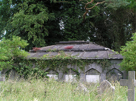 Killaloan Churchmausoleum · 768 yd
 DolmenPortal tomb · 898 yd
 Enclosure in Killaloan LowerEnclosure · 1016 yd
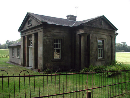 Gurteen Le Poergate lodge · 1071 yd
 Black PoplarBlack Poplar · 1231 yd
 Bourke's GroveForest · 1478 yd
 Gurteen CastleCastle · 1.4 mi
 CarrigeenseebohillaMountain / peak · 1.7 mi
 Long HillMountain / peak · 2.4 mi
 RetrospectMemorial · 3.0 mi
 Charles BianconiMemorial · 3.2 mi