What is recorded here
A house at Clonard in St. Peter’s Parish is marked on a Down Survey (1655-56) barony map in the National Library of Ireland (ms 725, microfilm, P7384, V, 1). It remains unlocated.
See the attached section of the Down Survey (1656-8) barony map (N at right) reproduced courtesy of the National Library of Ireland (Ms 725)
Compiled by: Michael Moore
Date of upload: 13 December, 2012
The monument record does not grant public access. Check the route and ask the landowner before entering private land.
- What survives
- Recorded monument
Places near here
 Alexandra Househouse · 238 yd
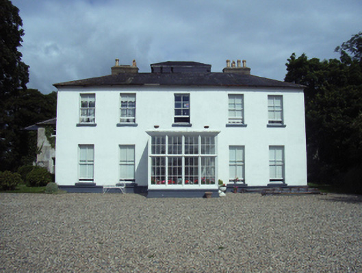 Clonard Housecountry house · 276 yd
 Fulacht fia in BallynageeFulacht fia · 703 yd
 16th Irish DivisionMemorial · 739 yd
 Castle (in ruinis)Castle, tower house · 873 yd
 Old WindmillWindmill · 1077 yd
 Dawn RedwoodDawn Redwood · 1157 yd
 IndicatedCastle, unclassified · 1266 yd
 Halla KennyMemorial · 1.6 mi
 Sack of Wexfordsiege · 1.7 mi
 Siege of Wexfordsiege · 1.7 mi
 Three Sisters River CruisesHeritage attraction · 1.8 mi