
What is recorded here
According to the Civil Survey (1654-6) in 'Coolnatallagh' in 1640 there 'stands a wast stone house singled' and the proprietor is listed as 'Sir Richard Everard Irish Papist' (Simington 1931, vol.1, 375). 'Coolnatallagh' seems to encompass the modern townlands of Coolantallagh, Cullenagh South, Knockaarum, Carriganroe, Glencallaghan, Crannagh and Garrandillon. The house is unlocated within these townlands.
Compiled by: Jean Farrelly
Date of upload: 26 August 2011
The monument record does not grant public access. Check the route and ask the landowner before entering private land.
- What survives
- Recorded monument
Places near here
 Enclosure in DanganEnclosure · 1367 yd
 Fulacht fia in CarrigavistealFulacht fia · 1488 yd
 Site of CastleCastle, unclassified · 1541 yd
 Coolantallagh Househouse · 1560 yd
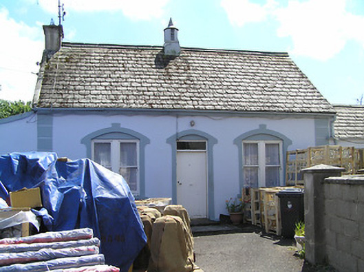 Convent of Mercyhouse · 1.0 mi
 Ronald Reagan CentreHeritage attraction · 1.1 mi
 Mitchelstown CaveCave · 1.2 mi
 CastleCastle, ringwork · 2.0 mi
 Sheep HillMountain / peak · 2.6 mi
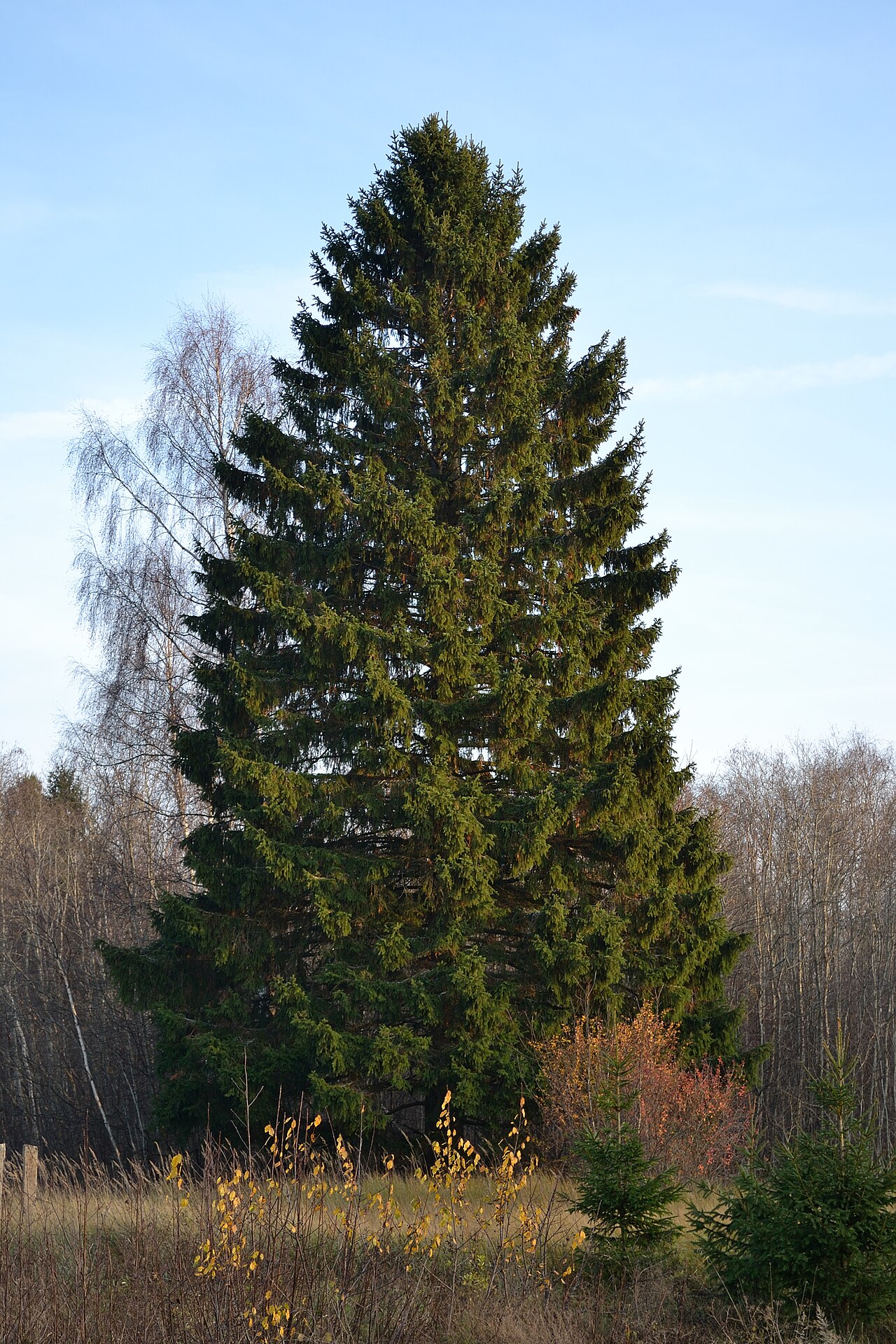 Norway SpruceNorway Spruce · 2.6 mi
 Lyrefune HillMountain / peak · 2.7 mi
 Sweet ChestnutSweet Chestnut · 2.7 mi
Other information
Photo: Credit not shown in the picture search · Rights wording not checked; contact us if this picture should be removed