What is recorded here
Depicted as a large house with a chimney stack on the Down Survey (1655-6) map of Rathcline barony (NLI, MS 719). It was on the W bank of the Inny River in an area close to the present townland boundary between Barnacor and Shrule. It precise location has not been identified.
Compiled by: Caimin O'Brien
Date of upload: 17 December 2012
The monument record does not grant public access. Check the route and ask the landowner before entering private land.
- What survives
- Recorded monument
Places near here
 IndicatedFairy fort / earthen ringfort · 431 yd
 RoadRoad, class 3 togher · 438 yd
 water pumpwater pump · 911 yd
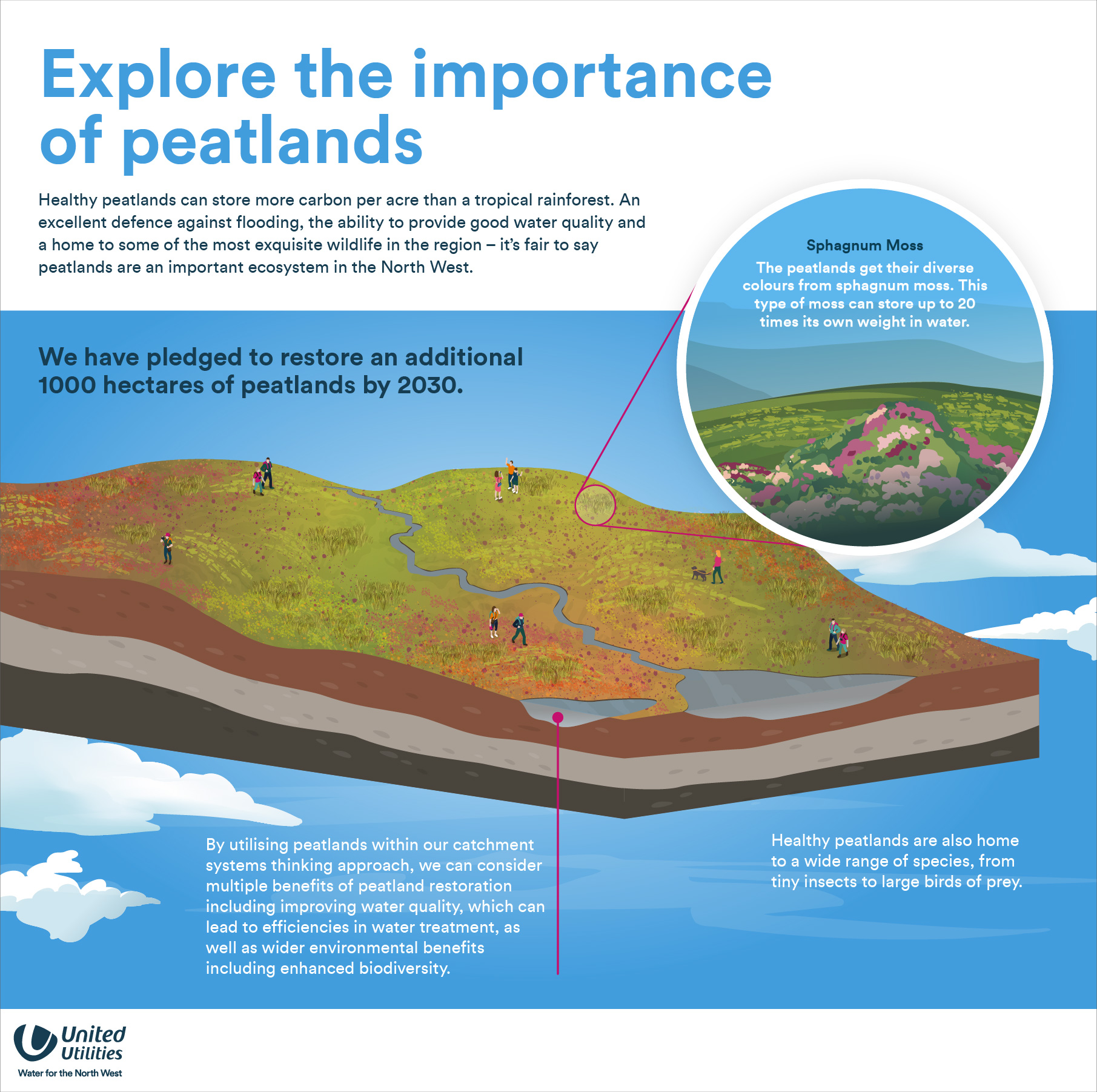 StructureStructure, peatland · 1323 yd
 Corlea Bog Walk Blue LoopWalking route · 1.1 mi
 Corlea Trackway Interpretative CentreHeritage attraction · 1.3 mi
 Corlea Bog Walk Canal BranchWalking route · 1.6 mi
 Bawn in BallyknockBawn · 2.7 mi
 Caltragh CastleCastle, unclassified · 2.8 mi
 Culnagore WoodForest · 4.2 mi
 Bush IslandIslet · 4.4 mi
 Elfeet BayBay · 4.5 mi