What is recorded here
A house and castle (WX039-051----) are depicted on the Down Survey (1656-8) barony map at Ballykeeroge (NLI: ms 725). Their precise location is not known.
See the attached section of the Down Survey (1656-8) barony map (N at right) reproduced courtesy of the National Library of Ireland (Ms 725)
Compiled by: Michael Moore
Date of upload: 28 January, 2013
The monument record does not grant public access. Check the route and ask the landowner before entering private land.
- What survives
- Recorded monument
Places near here
 kilnkiln · 127 yd
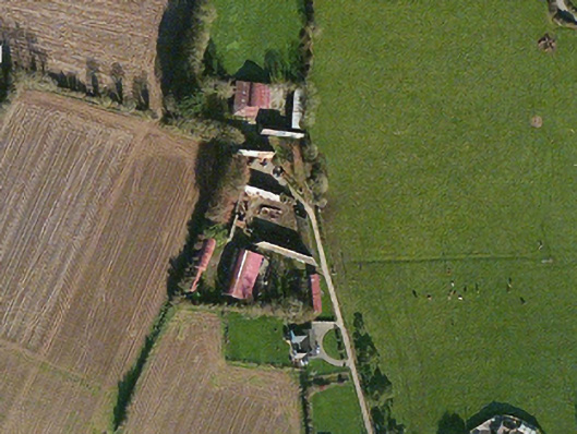 farm housefarm house · 222 yd
 Campile WWII Bombing MemorialMemorial · 1058 yd
 Castle (in ruins)Bawn · 1292 yd
 Dunbrody Abbey Visitor CentreHeritage attraction · 1.0 mi
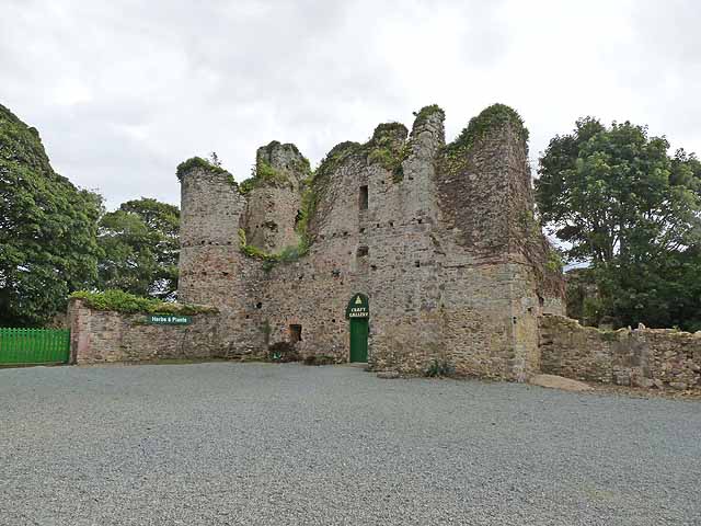 Dunbrody CastleCastle · 1.0 mi
 Dunbrody Abbey Hedge MazeHeritage attraction · 1.1 mi
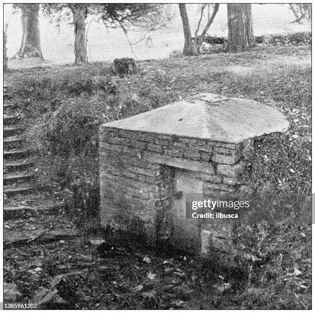 St. Bridgets WellHoly well · 1.1 mi
 Field system in DunbrodyField system · 1.1 mi
 Tinnock RockNamed rock · 1.2 mi
 Arboretum MapVisitor information · 1.2 mi
 Silver WattleSilver Wattle · 1.2 mi