What is recorded here
On the E side of a farmyard which is located on the E side of a valley adjacent to a small stream, in rolling grassland. There are fair to good views along the valley though they are limited to E and W where the land rises.
The Down Survey (1655-6) barony map of Gowran (Hibernia Regnum, courtesy of Trinity College Dublin) and parish map of ‘Killmodum’ (NLI MS720), depicts a castle and large detached house roughly N of the centre of the townland. In the terrier accompanying the parish map it states, ‘There is on Ballifoile one castle and one very lardge house built English wise both in good repaire’ and the proprietor in 1640 is listed as ‘Phillipp Pursall’. According to Carrigan (1905, vol. 3, 465) the local tradition was that the house was attached to the castle (KK014-023001-), ‘forming one residence with it; and for this residence Tobias Cramer paid £1 2s. hearth-money, or the tax on eleven hearths, in 1664’. Carrigan (ibid.) goes on to say that by c. 1745 the ‘old mansion’ was occupied by Charles Shearman and that c. 1746-7 the house collapsed unexpectedly. Shearman subsequently built Ballyfoyle House and lived there for some years before moving to Park House, which he also built.
See attached extract:
KK014-023001-_01 Down Survey (1655-6) barony map of Gowran (Hib. Reg., courtesy of Trinity College Dublin)
KK014-023001-_02 Down Survey (1655-6) parish map of Killmodum (courtesy of NLI)
Compiled by: Jean Farrelly
Date of upload: 19 May 2020
The monument record does not grant public access. Check the route and ask the landowner before entering private land.
- What survives
- Recorded monument
Places near here
 Ballyfoyle MoatArchaeological place · 626 yd
 CastleCastle, ringwork · 642 yd
 Ballyfoyle Castle (in ruins)Castle, tower house · 720 yd
 Killavoge Church siteArchaeological place · 1039 yd
 Saint Joseph's Catholic Churchchurch/chapel · 1609 yd
 The CummerForest · 1629 yd
 Gleann Dick ForestForest · 1.2 mi
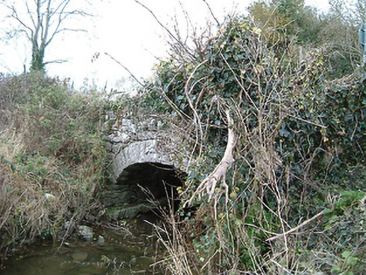 Kilkieran Bridgebridge · 1.5 mi
 Dunmore CavesCave · 1.8 mi
 Cave of DunmoreCave · 1.8 mi
 Mohil GraveyardArchaeological place · 2.0 mi
 Edward BurkeMemorial · 2.5 mi