What is recorded here
The Down Survey barony map (1656-8) of Forth shows a house in Ballycushlane. According to the Book of Survey and Distribution (1660s) William Brown of Mulrankin (WX047-031----) owned 69 acres at Ballycushlane and Grey Robin, and a total of 315 acres of Lady’s Island parish (Simington 1953, 305). Much of this property was granted to Capt. Richard Nunn in the Commonwealth period and Nunn’s holding was confirmed in 1666 (Hore 1921, 48-9). The precise location of this house is not known.
See the attached section of the Down Survey barony map (N at right) reproduced courtesy of the National Library of Ireland
Compiled by: Michael Moore
Date of upload: 3 January, 2014
Amended: 26 February, 2014; 7 March, 2104
The monument record does not grant public access. Check the route and ask the landowner before entering private land.
- What survives
- Recorded monument
Places near here
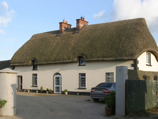 farm housefarm house · 339 yd
 Enclosure in Summertown (forth By., St. Margaret's Par.)Enclosure · 410 yd
 Enclosure in Coldblow (forth By., St. Helen's Ed)Enclosure · 845 yd
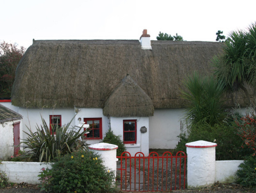 Ceann Tuífarm house · 1179 yd
 Lady's IslandVisitor information · 1404 yd
 TowerBawn · 1495 yd
 Shernock Hill/Knocks HillMountain / peak · 1577 yd
 ScargeenIsland · 1.1 mi
 Site of CastleCastle, unclassified · 1.2 mi
 The Fairy Stone/RockNamed rock · 1.3 mi
 Carne BeachBeach / strand · 1.3 mi
 Lifeboat MemorialMemorial · 1.4 mi