What is recorded here
Described in the Civil Survey (1654-6) as 'the Walls of an old burnt house' in the area of 'Ballycahil,BallyPhillip, Donamona Lisileamy Gortniagh Monorane' which in 1640 was under the proprietorship of 'James Earle of Ormond' (Simington 1934, vol.2, 242). House was tentatively located to a building on the 1st ed. OS 6-inch map which appeared to be T-plan and thus may have been of seventeenth-century date. Field inspection established that there are no surface remains fo any dwelling pre-1700 in area marked on 6" OS 6-inch map. House remains unlocated within the townland.
The above description is derived from 'The Archaeological Inventory of County Tipperary. Vol. 1 - North Tipperary' compiled by Jean Farrelly and Caimin O'Brien (Dublin: Stationery Office, 2002). In certain instances the entries have been revised and updated in the light of recent research.
Date of upload/revision: 22 September 2008
The monument record does not grant public access. Check the route and ask the landowner before entering private land.
- What survives
- Recorded monument
Places near here
 Ballycahill Castle (in ruins)Castle, unclassified · 210 yd
 Ballycahill Church (site of)Church · 260 yd
 Patricks WellHoly well · 273 yd
 CastleCastle, motte and bailey · 1120 yd
 ShannacloghRuins · 1135 yd
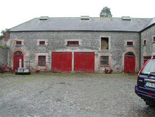 Solsborough Houseoutbuilding · 1.6 mi
 Nenagh Heritage CentreMuseum · 2.3 mi
 Old BarracksHeritage attraction · 2.5 mi
 Sweet ChestnutSweet Chestnut · 3.2 mi
 The MinerMemorial · 3.2 mi
 Our Lady Assumed into HeavenMemorial · 3.2 mi
 Gibbet HillMountain / peak · 3.2 mi