
What is recorded here
Ballycahill Church (site of) is a church in Ballycahill (Kilmore parish, North Riding), County Tipperary, Ireland. It stood on a natural rise in an upland area with wide views and a castle site to the south. Measurements taken in 1930 recorded wall footings 6 metres north to south and 15 metres east to west, with a 1 metre thick wall and no east wall visible. A disused burial ground attached to the church was later used as a farm enclosure, leaving human bones visible on its surface.
Situated on a natural rise of ground in an upland area with good views in all directions and nearby castle site (TN020-084001) to the S. According to the OS Letters (O'Flanagan 1930, vol. 3, 118) the wall-footings of the church (dims. 6m N-S; 15m E-W; wall T 1m) survived with no E wall visible. A disused burial ground (TN020-082002) was attached to the church which was used as a haggard by the local farmer, with human bones visible on the surface of the ground. Not visible at ground level.
The above description is derived from 'The Archaeological Inventory of County Tipperary. Vol. 1 - North Tipperary' compiled by Jean Farrelly and Caimin O'Brien (Dublin: Stationery Office, 2002). In certain instances the entries have been revised and updated in the light of recent research.
Date of upload/revision: 22 September 2008
Ballycahill Church, located in Kilmore Parish, North Riding, was likely built in the early medieval period, probably by a local monastic or ecclesiastical community. Its site's strategic position on a natural rise suggests it had both religious and defensive significance.
The monument record does not grant public access. Check the route and ask the landowner before entering private land.
- What survives
- Recorded monument
Places near here
 Ballycahill Castle (in ruins)Castle, unclassified · 127 yd
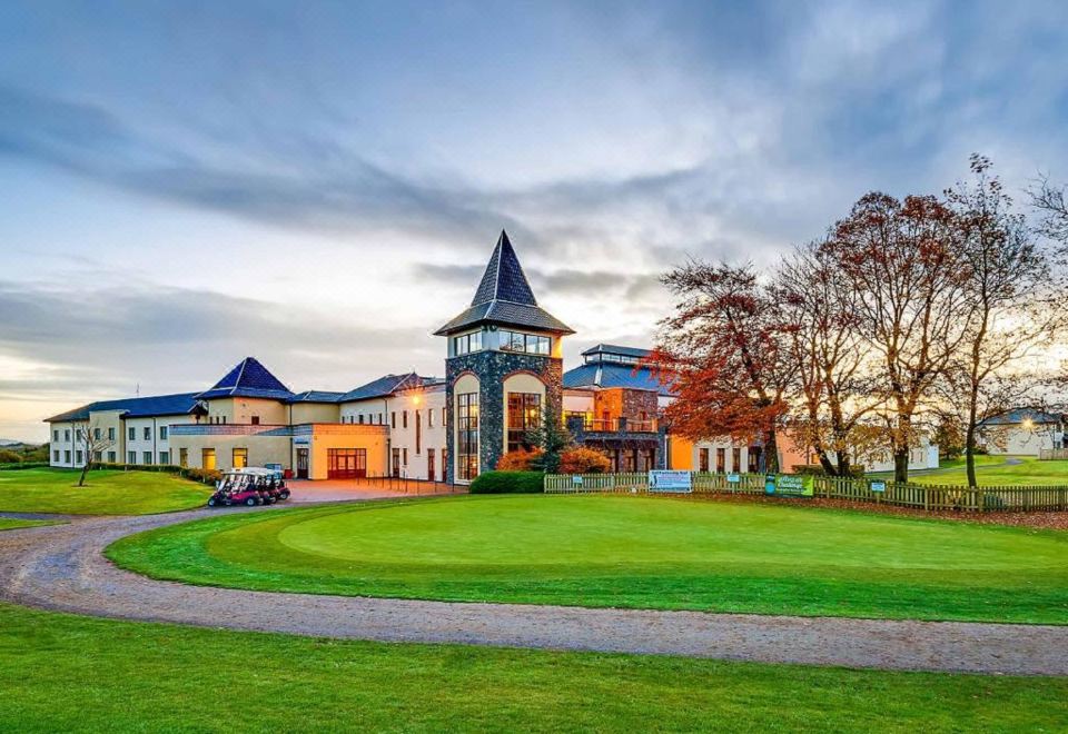 Enclosure in Ballycahill (kilmore Par., North Riding)Enclosure · 356 yd
 Patricks WellHoly well · 474 yd
 ShannacloghRuins · 1041 yd
 CastleCastle, motte and bailey · 1169 yd
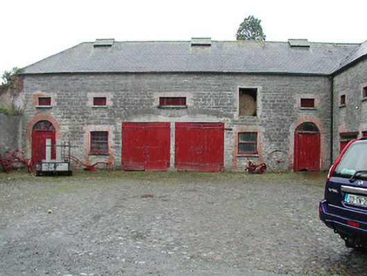 Solsborough Houseoutbuilding · 1.5 mi
 Nenagh Heritage CentreMuseum · 2.1 mi
 Old BarracksHeritage attraction · 2.4 mi
 Gibbet HillMountain / peak · 3.1 mi
 Sweet ChestnutSweet Chestnut · 3.2 mi
 The MinerMemorial · 3.3 mi
 Our Lady Assumed into HeavenMemorial · 3.3 mi
Other information
Photo: Credit not shown in the picture search · Rights wording not checked; contact us if this picture should be removed