What is recorded here
The Down Survey (1655-6) baron map of Crannagh depicts three substantial houses in 'Ballibeg lands' while the Down Survey (1655-6) parish map of 'Tulleroane' depicts two houses (KK017-006001-; KK017-006002-) in 'Ballihegh Landes' (Hibernia Regnum, courtesy of Trinity College Dublin). Though ‘Ballibeg’ is not mentioned specifically in the terrier accompanying the Down Survey parish map, this townland appears to be part of the unforfeited land belonging to John Grace in 1640 and which was therefore not surveyed in any great detail. The precise location of these houses within Ballybeagh townland is unknown.
See attached:
KK017-006002-_01 Extract from Down Survey (1655-6) barony map of Crannagh (Hib. Reg., courtesy of Trinity College Dublin)
KK017-006002-_02 Extract from Down Survey (1655-6) parish map of 'Tulleroane' (Hib. Reg., courtesy of Trinity College Dublin)
Compiled by: Jean Farrelly
Date of upload: 6 May 2020
The monument record does not grant public access. Check the route and ask the landowner before entering private land.
- What survives
- Recorded monument
Places near here
 IndicatedEnclosure · 1290 yd
 CastleCastle, unclassified · 1.5 mi
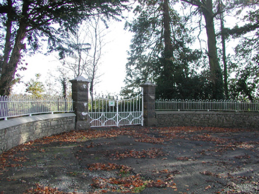 Curragh Housegates/railings/walls · 1.5 mi
 Wellington Monumentmonument · 1.5 mi
 Enclosure in TrenchardstownEnclosure · 1.7 mi
 Killahy Castle in ruinsCastle, unclassified · 1.7 mi
 Deerpark WoodWood · 1.8 mi
 Kildrinagh WoodForest · 2.2 mi
 Warhouse HillMountain / peak · 3.2 mi
 Kilcooly AbbeyHeritage attraction · 3.4 mi
 Bregaun HillMountain / peak · 3.7 mi
 Freshford LoopWalking route · 5.7 mi