
What is recorded here
Terrace of eight two-bay two-storey local authority houses, built c.1935, with the house to the east end extended by a bay c.2000. The façade of the whole block is rendered and largely covered in creeping plant growth, whilst the pitched roof has hipped ends and is covered in artificial slate with shared rendered chimneystacks. The entrances all have replacement timber or uPVC doors. The windows are flat-headed and are mainly filled with replacement timber or uPVC frames, however three properties have retained their original timber casement frames. Cast-iron rainwater goods. The terrace is set on high ground overlooking a road and is approached by flights of steps at either end of a tall retaining wall which lead to a shared laneway. The retaining wall itself is finished in unpainted render and roughcast and topped with simple metal railings and square piers.
Whilst somewhat altered over the years with the replacement of doors and windows and the extending of the property to the east end, this prominently sited local authority terraced grouping retains a commanding presence and, fronted by its tall retaining wall, certain utilitarian grandeur.
This does not grant access. Most recorded buildings are privately owned; view them only from public ground unless the owner allows entry.
Places near here
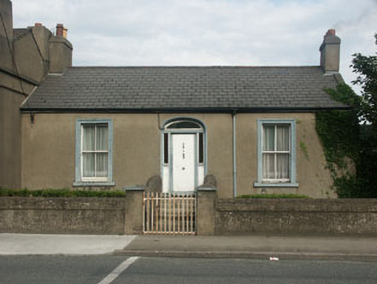 Saint Catherine's Househouse · 175 yd
 Proclamation of the Irish RepublicMonument · 260 yd
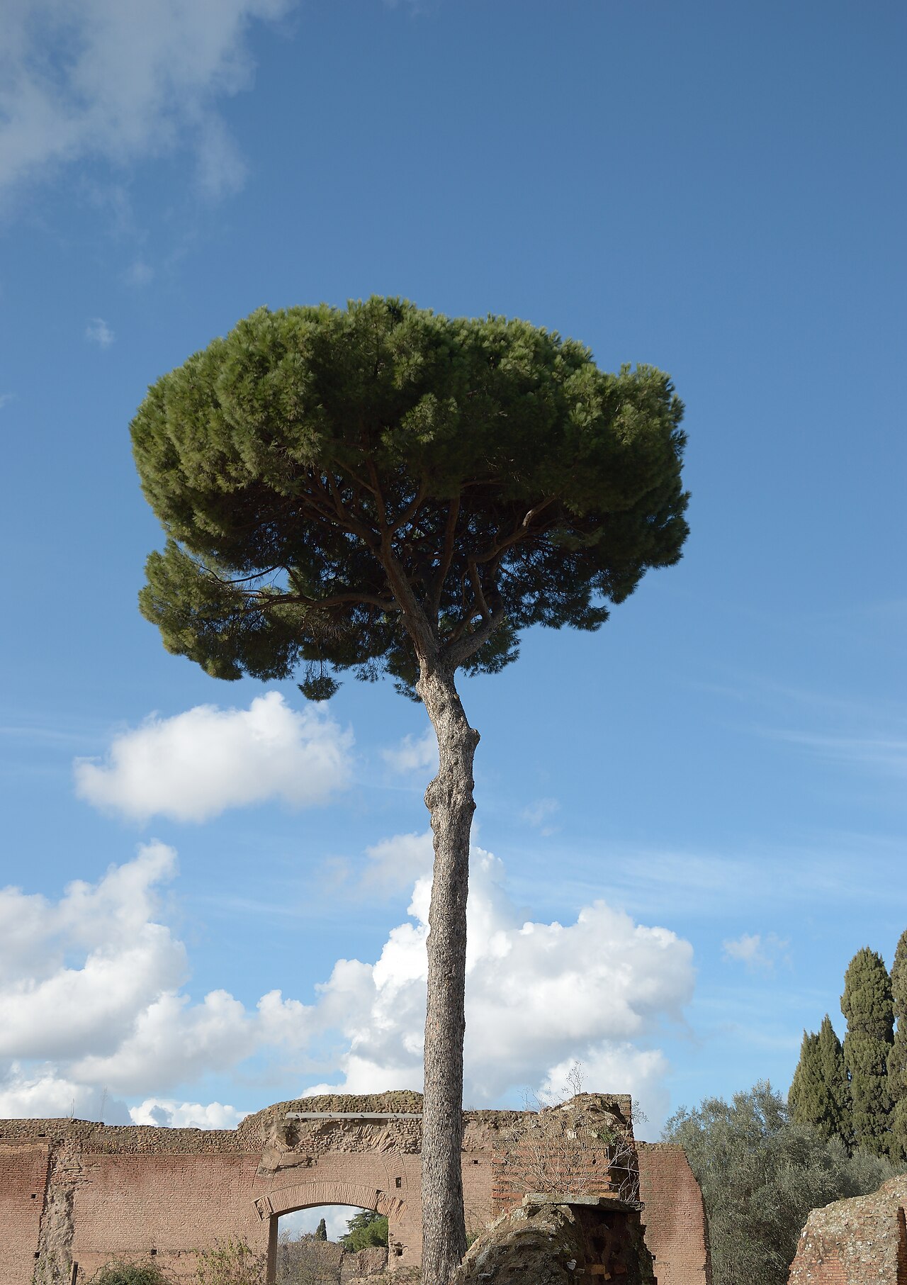 Stone PineStone Pine · 301 yd
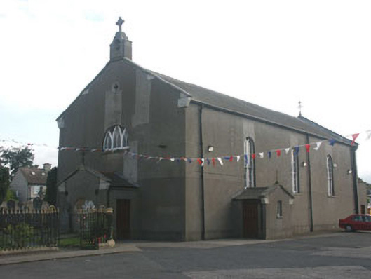 Saint Peter's Catholic Churchchurch/chapel · 316 yd
 Cas.Castle, tower house · 379 yd
 European YewEuropean Yew · 568 yd
 Christopher ThompsonMemorial · 612 yd
 Abbey WellHoly well · 676 yd
 IndicatedCastle, tower house · 1.3 mi
 Graveyard in BallymanGraveyard · 1.4 mi
 Naylor's CoveBeach / strand · 1.4 mi
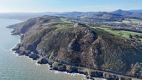 Bray HeadMountain / peak · 1.8 mi
Other information
Photo: National Inventory of Architectural Heritage · Website use allowed for educational or private purposes with source credit