
What is recorded here
Detached L-plan house, built c. 1800, having three-bay two-storey front elevation, five-bay two-storey over half-basement south elevation and having single-bay full-height lean-to addition to re-entrant corner. Hipped artificial slate roof having projecting eaves, and rendered chimneystacks. Painted rendered front and south elevations, with render plinth course to basement level, and rendered elsewhere. Segmental-headed window opening to east gable, with replacement timber window. Square-headed window openings elsewhere, with timber sliding sash windows, first floor of front and south elevations being six-over-six pane, ground floor of same elevations being nine-over-nine pane, and basement being six-over-three pane, with tooled limestone sills throughout. Windows to rear mainly one-over-one pane and six-over-three pane, with some timber replacement windows also. Round-headed door opening to front elevation approached by carved limestone steps over basement area and having curved iron railings. Timber panelled door with brass door furniture, flanked by Doric pilasters, and having petal fanlight. House approached by driveway from south.
This elegant, classically-proportioned house is attractively situated in landscaped surrounds and retains many original features including its timber sliding sash windows and fine doorcase. Its façade and character have changed little since the late eighteenth century. The building portrays a sense of grandeur that belies its size, accentuated by the slightly elevated ground floor approached by steps over basement area. Believed to have been the parochial house, the building forms part of the wider ecclesiastical component of Rathcormack.
This does not grant access. Most recorded buildings are privately owned; view them only from public ground unless the owner allows entry.
Places near here
 Enclosure in RathcormackEnclosure · 453 yd
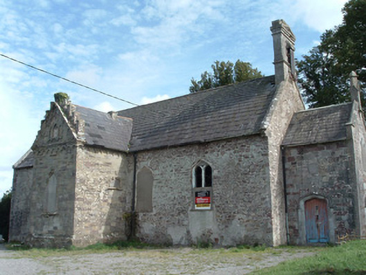 Christ Churchchurch/chapel · 463 yd
 M. Riordan Bakerhouse · 587 yd
 Tower (in Ruins)Bawn · 1438 yd
 Earthwork in BallinterryEarthwork · 1577 yd
 Rathcormac massacremassacre · 1.9 mi
 Barrymore Castle or Castle LyonsHouse, fortified house · 2.0 mi
 Corrin WoodsWood · 2.9 mi
 Ballybrack WoodForest · 3.3 mi
 Devonshire's HillMountain / peak · 3.5 mi
 Cappagh XViewpoint · 4.0 mi
 Graveyard in FermoyGraveyard · 4.3 mi
Other information
Photo: National Inventory of Architectural Heritage · Website use allowed for educational or private purposes with source credit