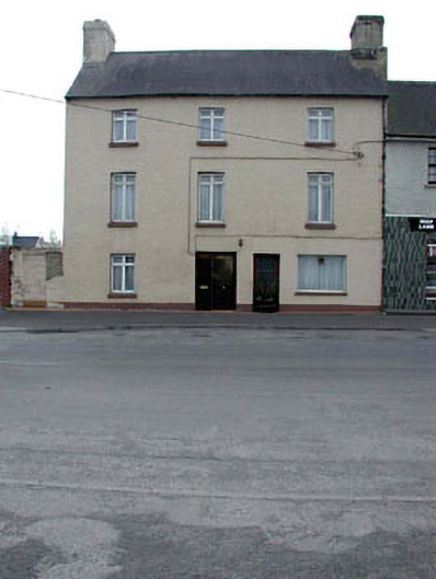
What is recorded here
Terraced three-bay three-storey house, c.1800, on a T-shaped plan with three-bay three-storey return to rear to south-west retaining some early fenestration. Renovated, c.1930, with openings remodelled to right ground floor to accommodate commercial use. Mostly refenestrated, c.1990. Now in residential use. Gable-ended roofs with slate. Clay ridge tiles. Roughcast chimney stacks. Cast-iron rainwater goods. Roughcast walls. Painted. Square-headed openings (some remodelled, c.1930, to right ground floor with additional door opening inserted). Stone sills. Replacement uPVC casement windows, c.1990. Early 2/2 timber sash windows to return. Replacement glazed timber panelled doors, c.1990. Road fronted. Tarmacadam footpath to front. Enclosed grounds to rear to south-west.
This house in a fine and well-maintained substantial building that has a prominent impact on the streetscape of the village of Prosperous - being later than the remaining buildings in the terrace the house is larger and forms an appropriate termination to the section of the streetline. The house is of social and historic significance, representing the early development of Prosperous as a planned village in the late eighteenth/early nineteenth centuries. The house, while altered in the mid and late twentieth century, retains some of its original character, while the remodelled openings to ground floor attest to its subsequent use as a part commercial building. The house retains some of its original or early features, including slate to the roofs and timber sash fenestration to part of the return – the re-instatement of timber fenestration to the remainder of the building, using these early examples as models, might restore a more accurate representation of the original appearance of the house.
This does not grant access. Most recorded buildings are privately owned; view them only from public ground unless the owner allows entry.
Places near here
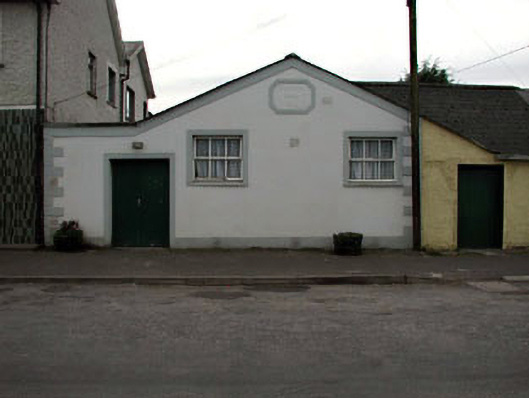 Prosperous Parish Hallchurch hall/parish hall · 22 yd
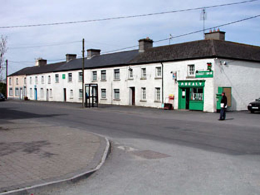 factoryfactory · 37 yd
 RaheenFairy fort / earthen ringfort · 533 yd
 Eldons FortFairy fort / earthen ringfort · 706 yd
 Grand Canal WayWalking route · 803 yd
 Ballynafagh Bog Special Area of ConservationNature reserve · 1.1 mi
 The Kildare MazeHeritage attraction · 1.2 mi
 IndicatedCastle, motte · 1.8 mi
 Blackwood Castle (in ruins)Castle, tower house · 2.2 mi
 Museum of MotorsportMuseum · 2.4 mi
 1798 Rebellion MemorialMemorial · 2.8 mi
 ICAMemorial · 2.8 mi
Other information
Photo: National Inventory of Architectural Heritage · Website use allowed for educational or private purposes with source credit