
What is recorded here
An oval hut was identified though test-excavation (Licence no. 06E0799). Located to the northeast of a rounded hilltop, the hut (4.5m max. diam.) is defined by a slot trench (0.3m wide) and several postholes. Preliminary interpretation indicates a prehistoric date (Frazer 2007, 36).
Compiled by: Christine Baker
Date of upload: 2 February 2015
The monument record does not grant public access. Check the route and ask the landowner before entering private land.
- What survives
- Recorded monument
Places near here
 Enclosure in Milverton DemesneEnclosure · 147 yd
 Ring-ditch in Milverton DemesneRing-ditch · 183 yd
 Milverton Hallgate lodge · 216 yd
 Flat cemetery in BalcunninFlat cemetery · 412 yd
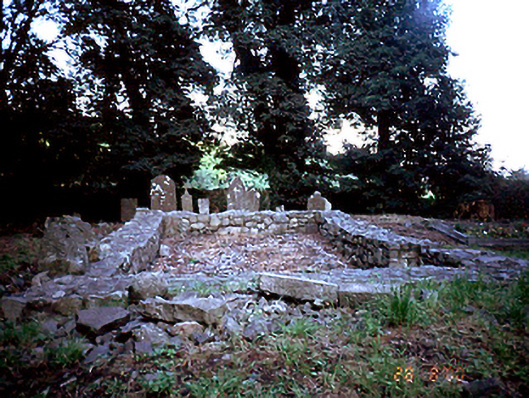 graveyard/cemeterygraveyard/cemetery · 738 yd
 Castle (in ruins)Castle, Anglo-Norman masonry castle · 1.1 mi
 BBQ AreaPicnic place · 1.2 mi
 Black Hill NurseryWood · 1.3 mi
 Skerries RockMemorial · 1.4 mi
 Ardgillan Castle and DemesneHeritage attraction · 1.5 mi
 New PlantationWood · 1.6 mi
 Man O'War HillMountain / peak · 1.6 mi
Other information
Photo: Credit not shown in the picture search · Rights wording not checked; contact us if this picture should be removed