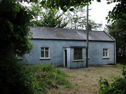
What is recorded here
Detached four-bay single-storey house, c.1840. Timber door in porch, timber sash windows in rendered walls. Blank gable to road (south) with raised gables and returned kneelers. Rere (west) two bays, dug into hillside. Pitched slate roof with rendered chimney stacks. Rubble outbuildings.
This cottage utilises local topography to ensure that it has a sheltered location. Its blank gable and terraced rere give privacy and protection. The returned kneelers and blind walls are local stylistic features.
This does not grant access. Most recorded buildings are privately owned; view them only from public ground unless the owner allows entry.
Places near here
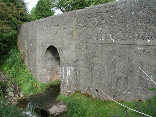 bridgebridge · 227 yd
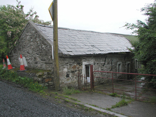 farm housefarm house · 319 yd
 SpinkeenMountain / peak · 636 yd
 Slieve GorraMountain / peak · 832 yd
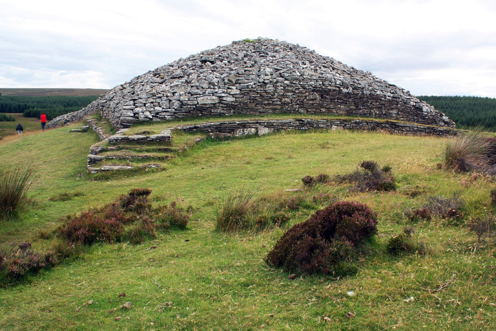 CairnCairn, burial cairn · 1037 yd
 Hellfire WoodForest · 1043 yd
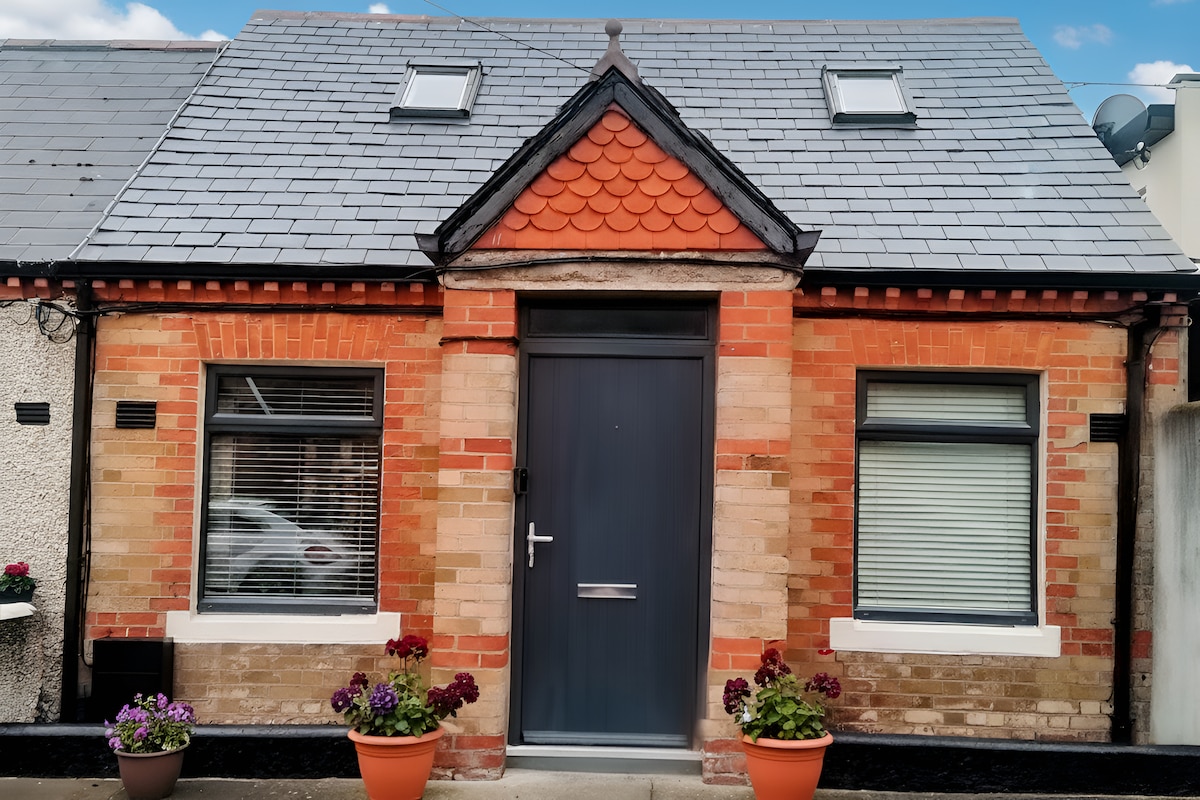 Habitation site in PiperstownHabitation site · 1048 yd
 Dublin Mountains Way - Hellfire & Massey spurWalking route · 1164 yd
 Dublin Mountains Way Hellfire & Massey SpurWalking route · 1333 yd
 Featherbed ForestForest · 1395 yd
 Saint Ann's WellSpring · 1478 yd
 Carty's CastleRuins · 1514 yd
Other information
Photo: National Inventory of Architectural Heritage · Website use allowed for educational or private purposes with source credit