What is recorded here
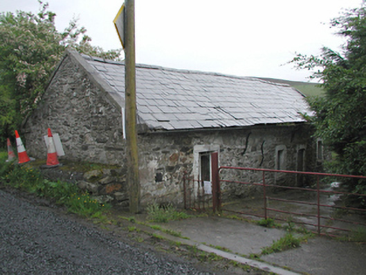
Detached four-bay single-storey former farm cottage, c.1810, now in use as a barn. Rubble stone walls with iron ties. Iron casement windows. Pitched slate roof with cut stone gable coping. Probably originally a dwelling to the south with a byre to the north.
This former cottage marks the beginning of a laneway with intact vernacular farmsteads beyond. More humble than the other groups, this simple structure is nevertheless a good example of a dual function farm building, containing both a dwelling and a byre in one unit.
This does not grant access. Most recorded buildings are privately owned; view them only from public ground unless the owner allows entry.
Places near here
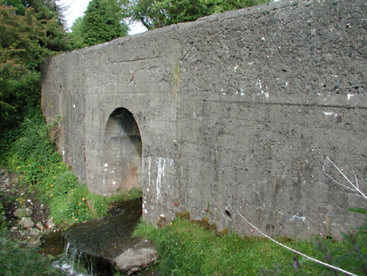 bridgebridge · 201 yd
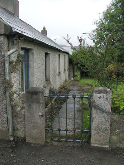 farm housefarm house · 280 yd
 Slieve GorraMountain / peak · 586 yd
 Hellfire WoodForest · 732 yd
 SpinkeenMountain / peak · 931 yd
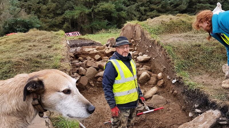 Passage tomb in MontpelierPassage tomb · 988 yd
 Dublin Mountains Way - Hellfire & Massey spurWalking route · 997 yd
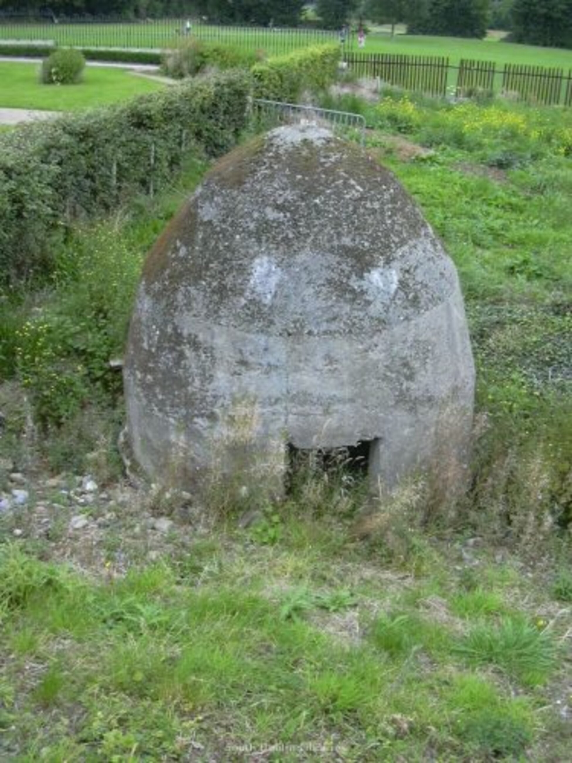 Enclosure in MountpelierEnclosure · 1053 yd
 Dublin Mountains Way Hellfire & Massey SpurWalking route · 1154 yd
 Carty's CastleRuins · 1218 yd
 Featherbed ForestForest · 1483 yd
 Saint Ann's WellSpring · 1.0 mi
Other information
Photo: National Inventory of Architectural Heritage · Website use allowed for educational or private purposes with source credit