What is recorded here
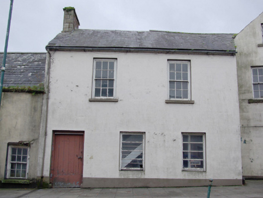
End-of-terrace attached three-bay two storey house, built c. 1860. Possibly originally built as a return or as an extension to building adjacent to north (see 40850016). Pitched natural slate roof having projecting eaves course, cast-iron rainwater goods, and having red brick chimneystack to the south gable end having ashlar quoins. Smooth rendered ruled-and-lined walls. Square-headed window openings having stone sills, and with six-over-six horned timber sliding sash windows with exposed sash boxes at first floor level and two-over-two pane timber sliding sash windows with horizontal glazing bars at ground floor level. Square-headed door opening to the south end of the front elevation (east) having plinth blocks to base and timber battened door. Road-fronted to the south end of the centre of Pettigoe.
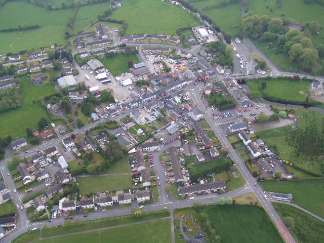
This building, of mid-to-late nineteenth century appearance, retains its early character and form. Its architectural integrity and visual expression is enhanced by the retention of much of its early fabric including timber sliding sash windows, battened timber door and natural slate roof. This building may have been originally built as a return or as an extension to the building adjoining to the north (see 40850016). This building forms part of an interesting group of buildings arranged around a corner site at the centre of Pettigoe, although it is later than its neighbours adjoining to either side (see 40850014 for buildings to the south). It represents an integral element of the built heritage of the town, and makes a positive contribution to the streetscape.
This does not grant access. Most recorded buildings are privately owned; view them only from public ground unless the owner allows entry.
Places near here
 The Bargain Storehouse · 12 yd
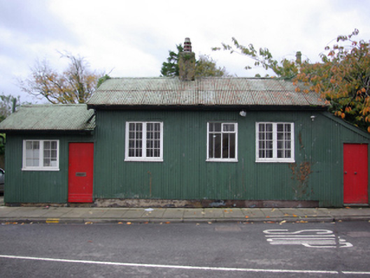 Pettigoe Customs Stationcustoms station · 42 yd
 Drumharriff WoodForest recreation place · 303 yd
 Castle McGrathCastle · 1.2 mi
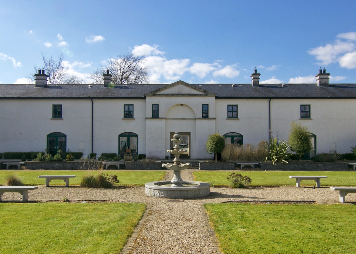 ENCLOSURE in DrumlongfieldENCLOSURE · 1.5 mi
 Smiths RocksIsland · 1.5 mi
 Teige's RockIsland · 1.6 mi
 AP Cropmark- Possible rath/ circular enclosure in AghahannaghAP Cropmark- Possible rath/ circular enclosure · 1.6 mi
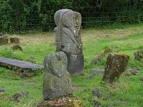 Boa IslandIsland · 2.2 mi
 Kesh ForestForest · 2.5 mi
 Derrin MountainMountain / peak · 3.3 mi
 STONE FIGURES IN CALDRAGH GRAVEYARD: BOA ISLAND in DreenanSTONE FIGURES IN CALDRAGH GRAVEYARD: BOA ISLAND · 3.3 mi
Other information
Photo: National Inventory of Architectural Heritage · Website use allowed for educational or private purposes with source credit