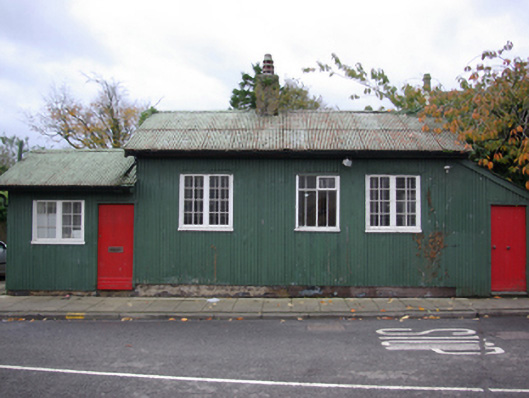
What is recorded here
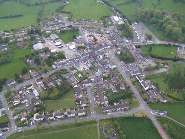
Detached three-bay single-storey former customs office/station, erected c. 1930, having two-bay single-storey attachment to the south and single-bay porch to the north. Later in use as a tourist information Now disused. Pitched corrugated-metal roofs with overhanging eaves and metal rainwater goods, render chimneystack to the centre of the main body of building having terracotta pots over. Mono-pitched roof over porch to the north. Corrugated-metal clad walls over concrete footings. Square-headed window openings with multi-pane timber casement windows and timber sills. Square-headed door openings with timber battened doors. Road-fronted to the south end of Pettigoe overlooking the main bridge (see 40850008) over the Termon River at Pettigoe linking County Donegal and County Fermanagh.
This simple and utilitarian former customs station retains its early form and character, as well as the majority of its salient fabric. It represents an interesting historical and social relic of the recent past when it would have been used by customs officers to monitor and collect duties on goods being brought into the Irish Republic across Pettigoe Bridge from Northern Ireland to the east, and arriving at/passing through Pettigoe Railway Station (see 40850010) a short distance to the south. It also provided a base to monitor smuggling between the two jurisdictions, which was a common occurrence, particularly during the Economic ‘War’ of the 1930s (1933 – 39) and the period of the ‘The Emergency’. It was one of fifteen to seventeen (varied over time) officially designated border crossings with associated customs stations that were established following the financial/economic partition of the Republic and Northern Ireland in 1923, and it acts a simple reminder of this era of Ireland’s history. It probably closed in 1993 when the European Single Market was established and the customs barrier was eliminated. This structure is a modest element of the built heritage of the local area, and an important element of the social history of Pettigoe and indeed the wider area.
This does not grant access. Most recorded buildings are privately owned; view them only from public ground unless the owner allows entry.
Places near here
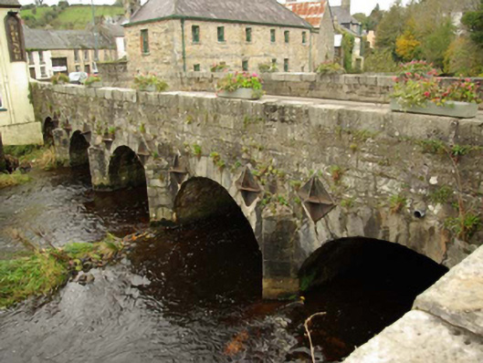 Pettigoe Bridgebridge · 47 yd
 The Bargain Storehouse · 53 yd
 Drumharriff WoodForest recreation place · 275 yd
 Castle McGrathCastle · 1.2 mi
 Smiths RocksIsland · 1.5 mi
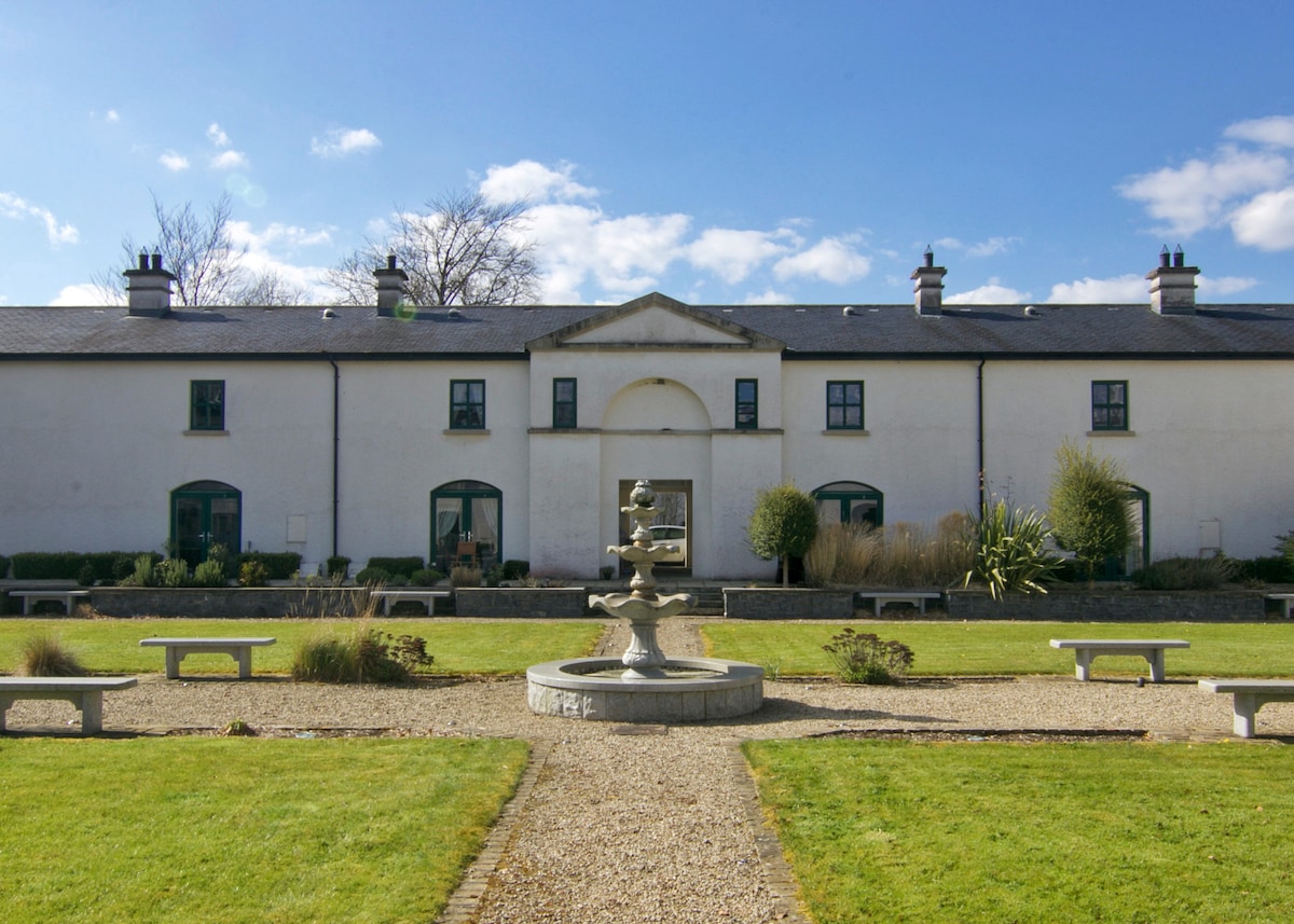 ENCLOSURE in DrumlongfieldENCLOSURE · 1.5 mi
 Teige's RockIsland · 1.5 mi
 AP Cropmark- Possible rath/ circular enclosure in AghahannaghAP Cropmark- Possible rath/ circular enclosure · 1.6 mi
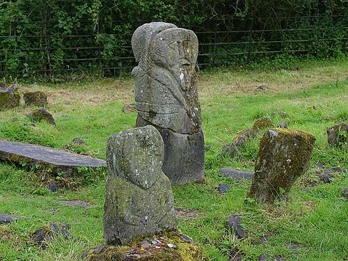 Boa IslandIsland · 2.2 mi
 Kesh ForestForest · 2.5 mi
 Derrin MountainMountain / peak · 3.3 mi
 STONE FIGURES IN CALDRAGH GRAVEYARD: BOA ISLAND in DreenanSTONE FIGURES IN CALDRAGH GRAVEYARD: BOA ISLAND · 3.3 mi
Other information
Photo: National Inventory of Architectural Heritage · Website use allowed for educational or private purposes with source credit