
What is recorded here
Located towards the outer edge of a shelf on a SW-facing slope of Lacken Hill. A rectangular Neolithic house (ext. dims 8.5m NW-SE; 6.25m NE-SW; int. dims. 6.75m NW-SE; 5.2m NE-SW) defined by fragments of slot-trenches, together with six pits and a segment of a ditch (Wth 2m; D 0.4m) were identified in centre-line testing (E4067) for the N25 New Ross by-pass during 2009. Three of the pits (diam. 0.4-1.2m; max. D 0.2m) were within the house (Doyle et al. 2010, 39-40).
It was set aside for resolution as Ryleen 2 when full excavation (E4116) recorded the Neolithic house defined partly by post and wattle construction and partly by plank walls. It had a NE-SW internal division defined by slot-trenches that had a central opening (Wth 1.4m) between two post-holes that also supported the roof, but an entrance from the outside was not identified. There was no evidence of an internal hearth, although the structure was burnt down. Twelve pits (dims 0.08m; D 0.09m to 1.4m x 0.55m; D 0.25m) were in the vicinity of the house, largely to the SE and S (Hession 2010, 9-25). Other features, largely isolated pits, were found c. 20-60m to the W (ibid. 25-32). (Hession 2013)
Compiled by: Michael Moore
Date of upload: 24 September, 2013
The monument record does not grant public access. Check the route and ask the landowner before entering private land.
- What survives
- Recorded monument
Places near here
 Fulacht fia in RyleenFulacht fia · 552 yd
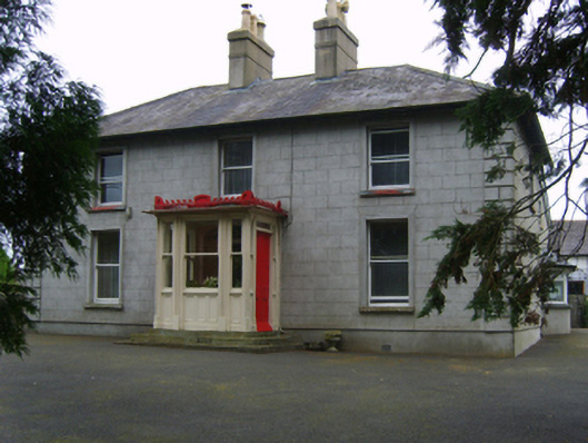 Erin Valefarm house · 582 yd
 Site of Arnestown CastleCastle, unclassified · 1429 yd
 Fulacht fia in Lacken (bantry By.)Fulacht fia · 1454 yd
 Newtown Housefarm house · 1465 yd
 Lacken HillMountain / peak · 1647 yd
 Forest Of The DunbrodyForest · 1.2 mi
 Site of CastleCastle, unclassified · 1.2 mi
 Crutched FriarsMemorial · 2.2 mi
 SlievecoiltiaMountain / peak · 3.7 mi
 Devon whitebeamDevon whitebeam · 3.9 mi
 Kennedy HomesteadHeritage attraction · 4.6 mi
Other information
Photo: Credit not shown in the picture search · Rights wording not checked; contact us if this picture should be removed