
What is recorded here
Discovered prior to road construction (Excavation Licence No. 03E0888) and situated on a gentle S-facing slope in a low-lying area with a SW-NE section of a small meandering stream just to the S. Excavation revealed the walls of a rectangular structure (10m E-W x 7m N-S) with a possible entrance at the NW. A large assemblage of early Neolithic pottery was recovered from the post-holes and slot trenches. The W wall appears to have been burnt down which probably led to abandonment of the structure. It produced a calibrated C14 date of 3766-3637 BC, and it was found in association with two other Neolithic structures (MO031-125---- and MO031-126----). (Walsh 2006, 404; 2011, 505-07)
Date of revised upload: 27 July 2017
The monument record does not grant public access. Check the route and ask the landowner before entering private land.
- What survives
- Recorded monument
Places near here
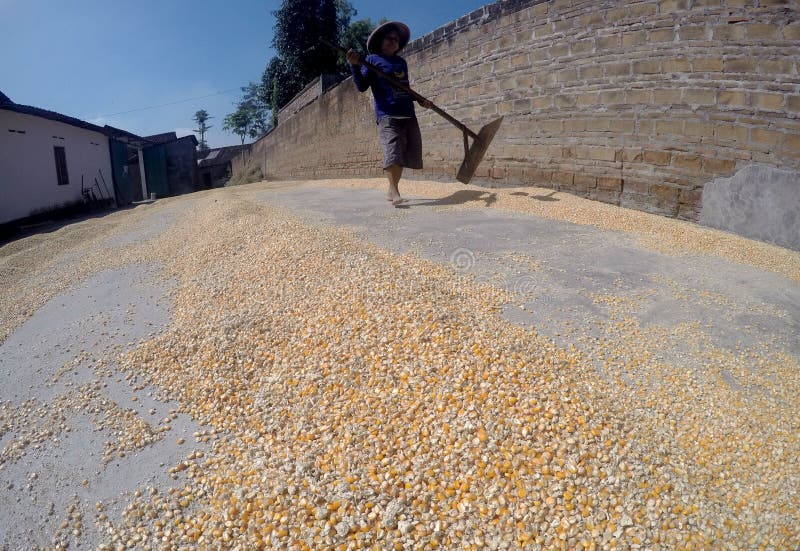 KilnKiln, corn-drying · 62 yd
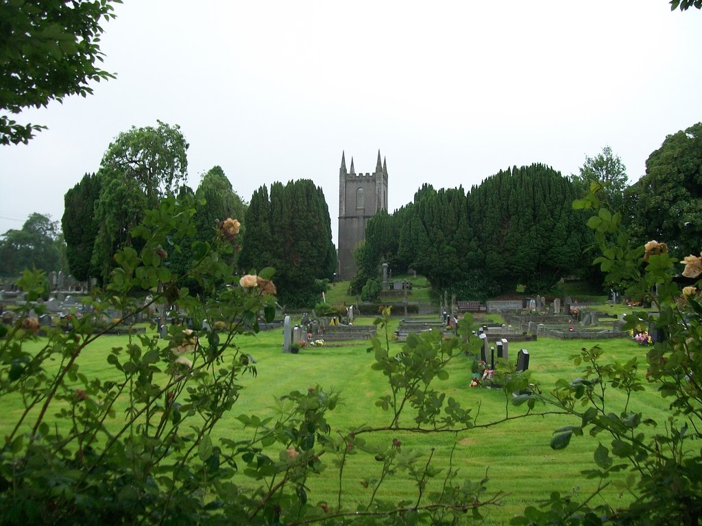 Burial ground in Cloghvally LowerBurial ground · 135 yd
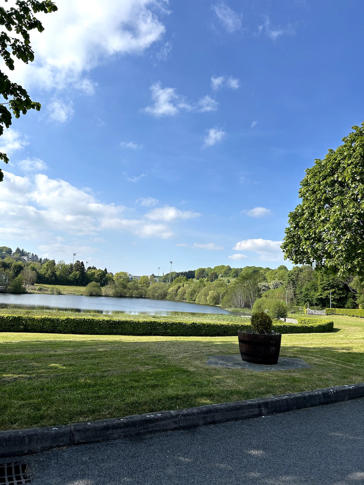 Embanked enclosureFairy fort / earthen ringfort · 1310 yd
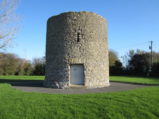 Gallows Hill Windmillmill (wind) · 1312 yd
 Horse-chestnutHorse-chestnut · 1731 yd
 Mannan Castle (in ruins)Castle, Anglo-Norman masonry castle · 1.5 mi
 European BeechEuropean Beech · 1.8 mi
 TobernagalliaghSpring · 2.3 mi
 Drumerlough MoreMountain / peak · 4.9 mi
 Flat cemetery in AnnaheanFlat cemetery · 5.2 mi
 Gully IslandIslet · 5.7 mi
 Natural Play AreaMemorial · 5.8 mi
Other information
Photo: Credit not shown in the picture search · Rights wording not checked; contact us if this picture should be removed