What is recorded here
Situated on a level area on the banks of the River Rine c. 80m SE of Quin Abbey (CL042-027002-). Portion of the S wall of a rectangular earthwork was excavated in 2017 (Hull, Licence No. E004671). The house (c. 6.4m x 4.7m; wall T 1.7m at S) was rectangular and stone built with a possible doorway at the SE corner leading to an adjacent roadway (CL042-027023-). The S wall survived to 0.3m and was composed of limestone pieces built onto limestone bedrock. It is one of some 15-20 structures evident on aerial photographs and Lidar images. A large quantity of animal bone indicated domestic waste and a patch of oxidised soil indicated a central hearth. Animal bones from cattle, sheep and pigs were found as well as a single bone from a horse. Nails, suggesting timber components were found and a clay pipe bowl from the first half of the 17th century. Synthesis of the archaeological and historical information indicated that the structure (and most likely those adjacent) was built in the 15th century at the time of the period of construction at the abbey after 1433.
Compiled by: Mary Tunney
Date of upload: 2 July 2018
The monument record does not grant public access. Check the route and ask the landowner before entering private land.
- What survives
- Recorded monument
Places near here
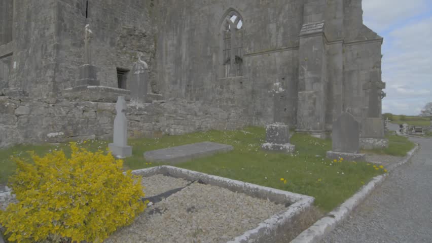 Wall monument in QuinWall monument · 109 yd
 Quin Abbey ( in ruins)Religious house, Franciscan friars · 113 yd
 Quin AbbeyHeritage attraction · 122 yd
 IndicatedEcclesiastical enclosure · 206 yd
 ToberinneenboyHoly well · 254 yd
 Danganbrack Castle (in Ruins)Castle, tower house · 955 yd
 Ballymarkahan CastleCastle · 1.5 mi
 Mooghaun HillfortArchaeological place · 2.5 mi
 Mooghaun WoodsWood · 2.7 mi
 Cloghleagh RockNamed rock · 3.0 mi
 HawthornHawthorn · 3.2 mi
 G.A.A. Commemorative StoneMemorial · 4.4 mi