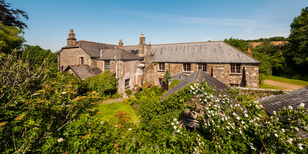
What is recorded here
Partially excavated (00E0471) as part of the N25 Wexford to New Ross re-alignment. The moated site (WX036-079001-) has the remains of a wooden house in the interior. This is defined by wide, shallow foundation trenches providing uncertain dimensions for the house. A hearth in the N extremity of the structure produced a C14 date of cal AD 1400-1450, but a second more central hearth is more likely to be primary and there was evidence of the destruction of the building which produced a C14 date of cal AD 1318-1450 (Eogan and Kelly 2016, 222). (Tierney and Johnston 2006, 10, 11; Tierney 2009, 193-4)
Compiled by: Michael Moore
Date of revised upload: 1 February, 2017
The monument record does not grant public access. Check the route and ask the landowner before entering private land.
- What survives
- Recorded monument
Places near here
 KilnKiln, corn-drying · 20 yd
 Field system in CamarossField system · 51 yd
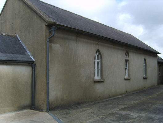 Saint Garvan's Catholic Churchschool · 676 yd
 St. Garvans WellHoly well · 935 yd
 Camaross HillMountain / peak · 1.8 mi
 Bawn in Tracystown WestBawn · 2.5 mi
 Glenour MonumentMemorial · 2.7 mi
 (Site of) Doonoonen CastleCastle, motte · 2.8 mi
 Carrickbyrne HillMountain / peak · 3.9 mi
 Coolcliffe HouseRuins · 4.5 mi
 Carrig-On-BannowVisitor information · 8.3 mi
 1798 MemorialMemorial · 8.3 mi
Other information
Photo: Credit not shown in the picture search · Rights wording not checked; contact us if this picture should be removed