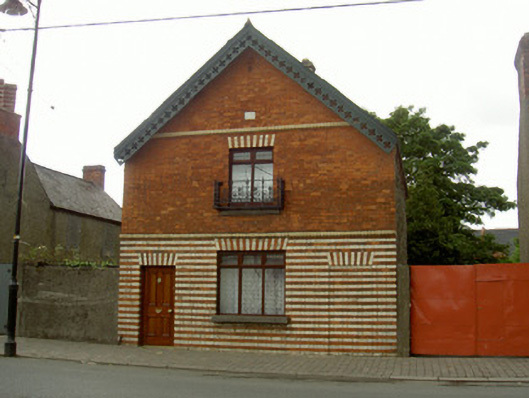
What is recorded here
Detached single-bay two-storey gable-fronted house, built c. 1900. Pitched slate roof, decorative crested clay ridge tiles, red brick corbelled chimneystacks with alternating red and yellow brick banding, moulded uPVC gutters on moulded brick eaves corbel course, painted fretted timber decorative bargeboard on east gable. Red brick Flemish bond walling to east elevation first floor, ground floor with alternating courses of red and yellow brick, bull-nosed yellow brick string courses; roughly coursed random rubble walling to north and south elevations, red brick quoins. Square-headed window openings, alternating red and yellow brick jambs and arches, stone sills, uPVC and varnished timber casement windows, cast-iron balconette to first floor gable window. Square-headed door opening to south of east elevation, gauged brick splayed yellow and red brick arch, varnished timber four-panel door (similar door opening to north side of east elevation built up). Stone plaque above central first floor window on east elevation inscribed "PROVERBS CHAP. 11:1". Street-fronted, yard to south, bounded by unpainted roughcast wall topped by spiked railings, painted timber vertically-sheeted gates.
This unusual house echoes, in a more simple manner, the former estate worker's house further south. The dominant theme of alternating brick colours is quite distinctive. Architecturally significant detail such as the crested ridge tiles and fretwork bargeboards make an important contribution to the streetscape.
This does not grant access. Most recorded buildings are privately owned; view them only from public ground unless the owner allows entry.
Places near here
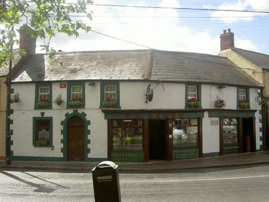 P.J. Byrnehouse · 36 yd
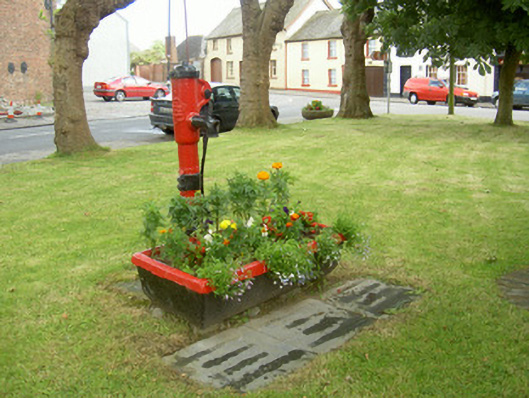 water pumpwater pump · 41 yd
 Castle (Site of)Castle, unclassified · 452 yd
 Drummeenagh HillMountain / peak · 1047 yd
 Abbey (Site of)Religious house, Knights Templars · 1088 yd
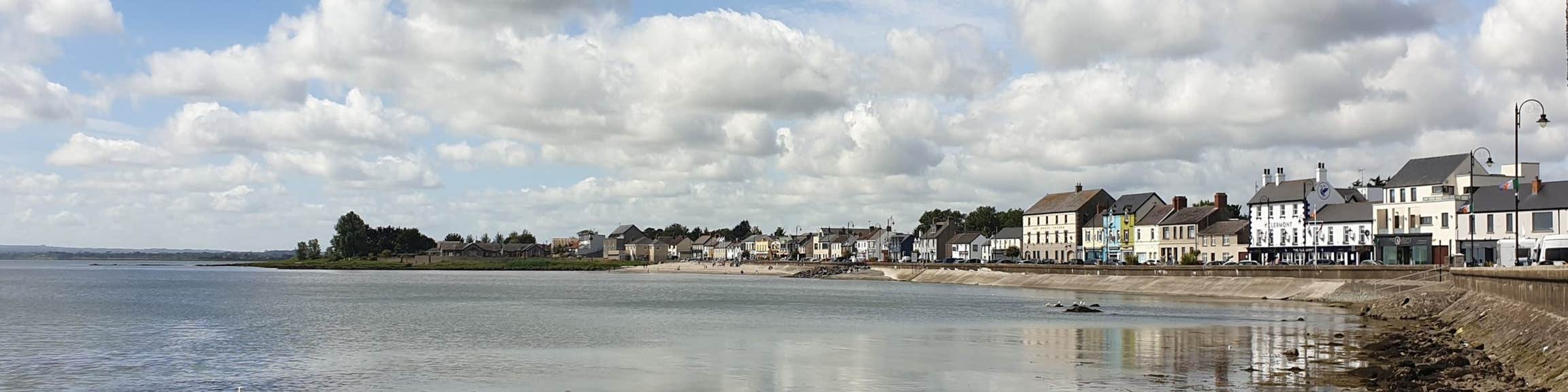 Font (present location) in KilsaranFont (present location) · 1394 yd
 CastleCastle, unclassified · 1.2 mi
 Viking BoatHeritage attraction · 1.8 mi
 Rabbit BurrowWood · 3.2 mi
 Long WoodForest · 3.8 mi
 Graveyard in Richardstown (ardee By., Richardstown Par.)Graveyard · 4.0 mi
 Tullydonnell HillMountain / peak · 4.2 mi
Other information
Photo: National Inventory of Architectural Heritage · Website use allowed for educational or private purposes with source credit