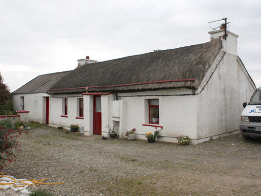
What is recorded here
Detached four-bay single-storey vernacular house, built c. 1880 with windbreak porch and attached outbuilding. Pitched thatched roof with smooth rendered gable ended chimneystacks with coping. Roughcast rendered walls with smooth rendered porch and plinth course to front. Square-headed window openings with…
Read the whole record
From the Buildings of Ireland (National Inventory of Architectural Heritage) record 40900440
Places near here
Photo credits
- Maker not stated on source page, en.wikipedia.org
- Maker not stated on source page, commons.wikimedia.org
- National Inventory of Architectural Heritage
- Kenneth Allen, Geograph · CC BY-SA 2.0
- Dr Neil Clifton, Geograph · CC BY-SA 2.0
- Caroline McLaughlin / Donegal Live, Source publisher
- Picture: Barrack Hill Town Park
- Maker not stated on source page, www.tuatha.ie
- Andreas F. Borchert, Wikimedia Commons · CC BY-SA 4.0
- Andrejs Plavins / Inishowen News, www.inishowennews.com
- Carroll Pierce, Wikimedia Commons
 Cloghtogle Cairn / St Buchan's Burial GroundCairn, unclassified · 826 yd
Explorer Tom Cloghtogle Cairn / St Buchan's Burial Ground appears without details in documents from the 1834 map survey. A later map…
 Saint Buchan's Children's Burial GroundChildren's burial ground · 826 yd
Explorer Tom Saint Buchan's Children's Burial Ground slopes down towards the channel, marked by a small cairn and several grave…
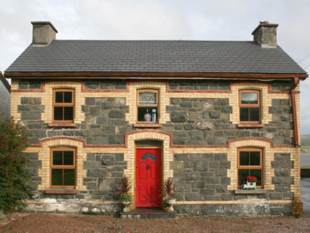 railway station1.1 mi
Explorer Tom This railway station in Rashenny is dressed up in a gorgeous clash of dark stone and bright yellow brick. It served the…
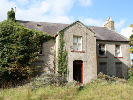 Donagh Church of Ireland RectoryRectory/glebe/vicarage/curate's house · 2.3 mi
Explorer Tom Donagh Church of Ireland Rectory is a c. 1776 beauty that’s basically sleeping in its own garden. Look at those ashlar…
 Nancy's BarnCafé · 2.5 mi
Explorer Tom Nancy's Barn serves fish that looks like it hasn't moved since the Ice Age. It would complain to the council about the…
 Ballyliffin HotelHotel · 2.6 mi
Explorer Tom Ballyliffin Hotel number one is probably the quiet one next to the church, hiding a love story that went badly wrong.…
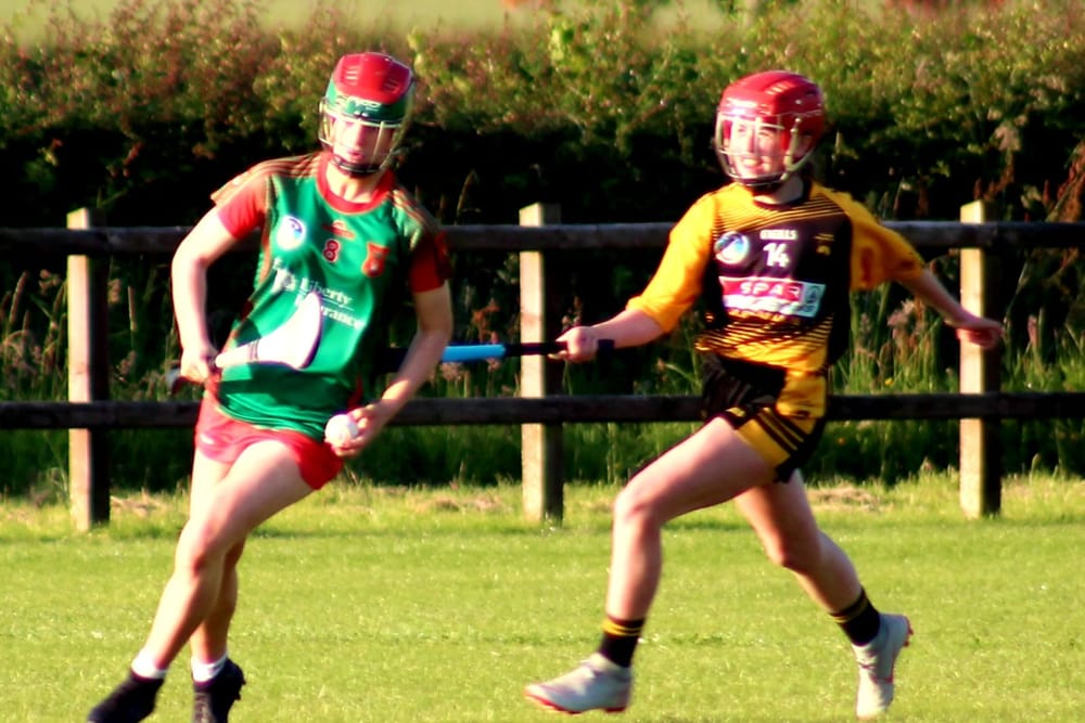 Páirc O’Dochartaigh, CarndonaghGAA ground · 4.1 mi
Explorer Tom Páirc O’Dochartaigh is Carndonagh’s Gaelic games home at Foden, where football, hurling and camogie have all found room…
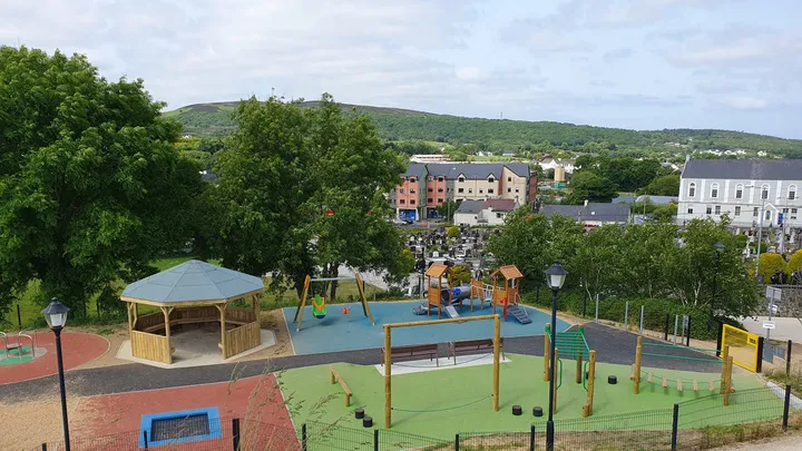 Barrack Hill Town Park PlaygroundChildren's playground · 4.1 mi
Explorer Tom At Barrack Hill, little legs get the climbing frames, swings, balance beams and monkey bars. The roundabout was…
 CastleCastle, unclassified · 4.2 mi
Explorer Tom A castle stood beside the church at Straid in 1600, perhaps a stone house occupied by a priest named Amerson. Its exact…
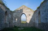 Clonmany Early Church GraveyardGraveyard · 4.2 mi
Explorer Tom Clonmany Early Church Graveyard hides a stone with two cupmarks called St. Colmcille's knee-prints. I reckon a kneeling…
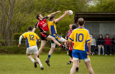 Páirc Uí Chnáimhsí, UrrisGAA ground · 4.3 mi
 Tullagh BaySurfing beach · 4.4 mi
Explorer Tom Tullagh Bay curves below Binion Hill like someone drew a horseshoe in the sand and forgot to stop. Surfers know its…
More historic places in County Donegal · All of County Donegal

What do you know about this place?Tap to add a comment or ask a question