What is recorded here
In rough pasture on the N slopes of Crocmore hill, to the SW of a field system (GA009D026----). This roughly subcircular house site (int. dims. 9m E-W; 6m N-S), overgrown with heather and moss, is best preserved from NW to E where it is defined by a double-faced stone wall (Wth c. 3m; int. H 0.25m; ext. H 0.35m). From E to SW it is defined by a broad earthen bank (int. and ext. H 0.2m) with some stone visible at its base. Apart from some loose stone, no trace survives between SW and NW. The entrance gap appears to have been at E, where slight traces of stone-facing mark its N side. The interior is flat but the S end had been cut away. The house site appears to be one of five (see also GA009D026002- to GA009D026005-) recorded by Westropp (1911, Part 2, 62 (b)) in this area. One (GA009D026002-) lies c. 50m to the SE. (Gosling 1993, 65)
Compiled by: Olive Alcock
Date of upload: 14 November 2022
The monument record does not grant public access. Check the route and ask the landowner before entering private land.
- What survives
- Recorded monument
Places near here
 DoonmoreBay · 359 yd
 Dun Mor CliffsCliff · 493 yd
 PollatlooaCave · 1187 yd
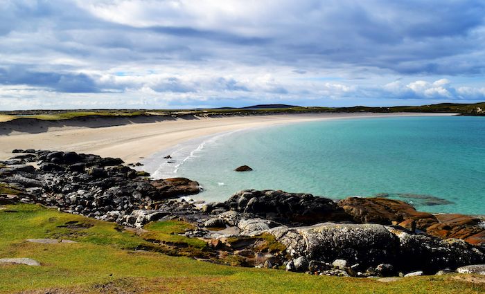 North BeachBeach / strand · 1361 yd
 Ecclesiastical enclosure in WestquarterEcclesiastical enclosure · 1420 yd
 CarrickmoreIslet · 1491 yd
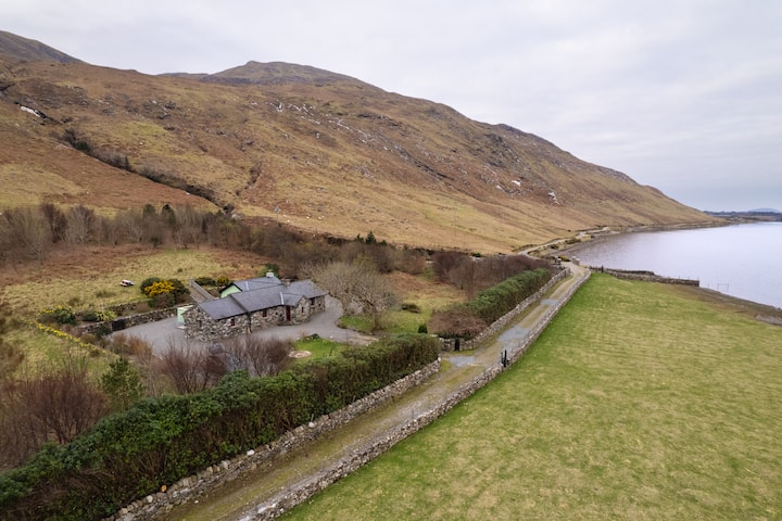 Promontory fortPromontory fort, coastal · 1551 yd
 West Quarter BeachBeach / strand · 1692 yd
 Stags of BofinIslet · 1754 yd
 St. Leos Chapel (in Ruins)Church · 1.2 mi
 InishbofinIsland · 1.3 mi
 Inishbofin Signal TowerRuins · 1.4 mi