What is recorded here
Situated on S facing slope of Bawnloge Hill, in rough mountain pasture with good views of the valley to from E through S to W. Two hut sites (DG029-057001/002-) are located 135m to the WNW and a third hut site (DG029-056) is 245m to the NW. A panel of rock art (DG029-051) is located 120m to the NW. Present remains consist of a small sub-rectangular house site (int. dims. 5.9m NE-SW; 3.5m NW-SE) which is defined by low grass-covered walls (H 0.3m ; T. 1m) with no visible entrance gap. There is evidence of a low partition wall (H 0.2m; T 0.3m) composed of a series of large stones set on edge which defines a small room (dims. 1m x 3.5m) at the NE end. A larger house site (DG029-053) is adjacent to the NE end of this house.
The monument record does not grant public access. Check the route and ask the landowner before entering private land.
- What survives
- Recorded monument
Places near here
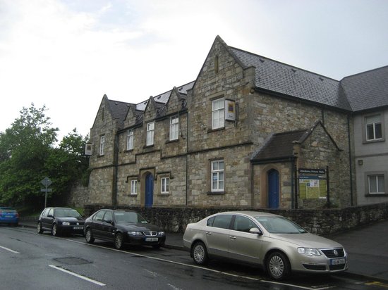 Tullydush Lower EnclosureEnclosure · 700 yd
 Former Tullydush Lower Fairy FortFairy fort / ringfort · 831 yd
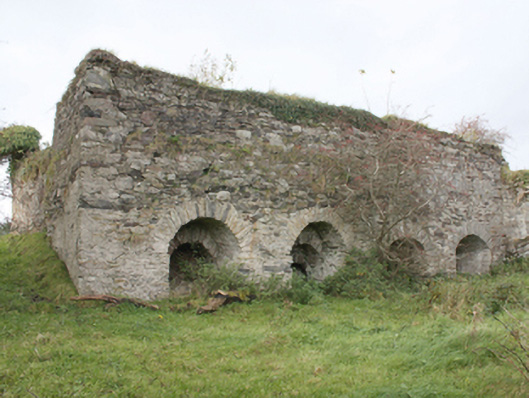 kilnkiln · 1.1 mi
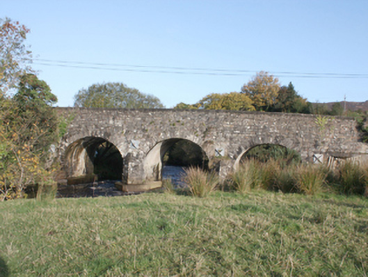 Druminderry Bridgebridge · 2.2 mi
 Scalp MountainMountain / peak · 2.4 mi
 Lady's Bay, BuncranaOfficial bathing water · 2.9 mi
 O'Doherty's KeepCastle · 3.1 mi
 Neds Point FortFort · 3.5 mi
 Cashel HillMountain / peak · 3.7 mi
 LisfannonOfficial bathing water · 3.9 mi
 Mass RockNamed rock · 4.5 mi
 Brown’s PointHeadland · 4.6 mi