What is recorded here
Situated at the highest point and towards the NW end of a NW-SE drumlin ridge. The foundations of a subrectangular house structure (ext. dims 5.7m x 4.7m; int. dims 5m x 4.3m) defined by low banks (Wth 1.1m; H 0.2m) and with a probable entrance at ENE is visible SW of the NW-SE field bank that bisects rath (MO019-002----).
Compiled by: Michael Moore
Date of upload: 22 June 2018
The monument record does not grant public access. Check the route and ask the landowner before entering private land.
- What survives
- Recorded monument
Places near here
 IndicatedCrannog · 875 yd
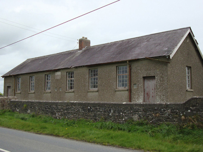 Corvoy National Schoolschool · 1343 yd
 post boxpost box · 1353 yd
 Portal tomb in LennanPortal tomb · 1.1 mi
 Fort HillWood · 2.7 mi
 Knockamaddy Big WoodWood · 2.9 mi
 Battle of ClontibretBattlefield · 3.6 mi
 Castleshane WaterfallWaterfall · 4.4 mi
 Monaghan WayWalking route · 5.1 mi
 Lady Rossmore's Cottage (Ruin)Heritage attraction · 6.0 mi
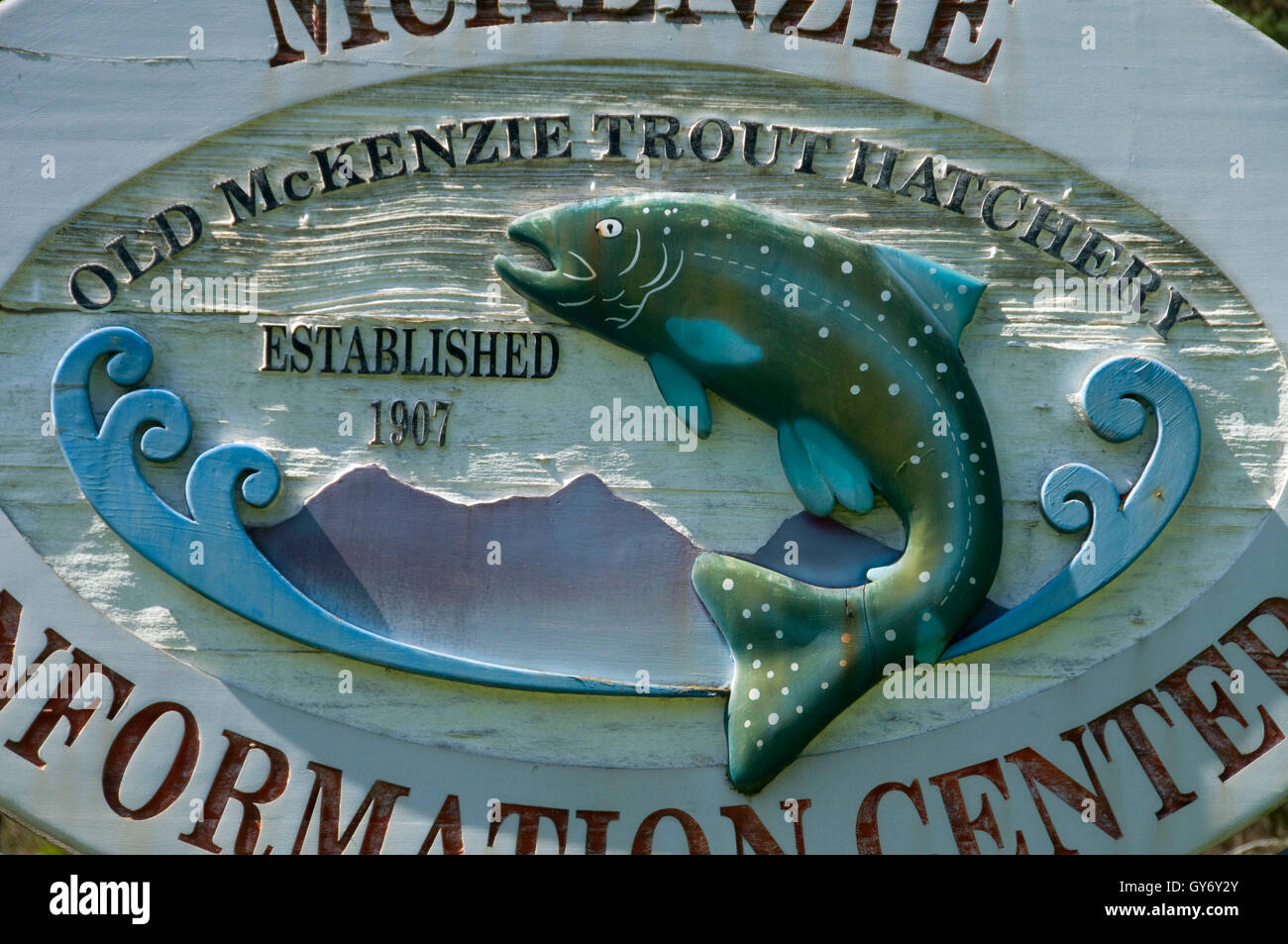 Old Fish HatcheryHeritage attraction · 6.1 mi
 LisnaspeenanMountain / peak · 7.7 mi
Other information
Photo: Credit not shown in the picture search · Rights wording not checked; contact us if this picture should be removed