What is recorded here
Located on the NE edge of and towards the SE end of a broad and undulating NW-SE ridge, and at the centre of rath (ME015-096----). This is a grass-covered rectangular area (dims 7m E-W; 5m N-S) defined by earthen banks (Wth c. 3m; H 0.3-0.4m) with an entrance gap (Wth of base 0.5m) at E.
Compiled by: Michael Moore
Date of upload: 9 January 2019
The monument record does not grant public access. Check the route and ask the landowner before entering private land.
- What survives
- Recorded monument
Places near here
 Bradley's WoodWood · 1241 yd
 Church in DiamorChurch · 1725 yd
 The Keeper's FieldForest · 1.0 mi
 CastleCastle, unclassified · 1.1 mi
 MoatCastle, motte and bailey · 1.1 mi
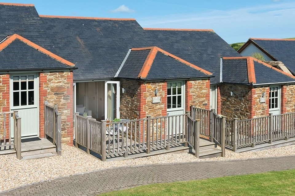 Keeper's CottageRuins · 1.1 mi
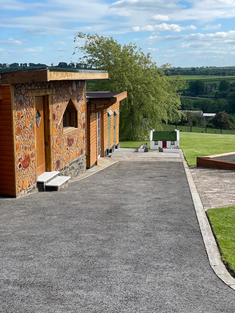 Enclosure in GibbonstownEnclosure · 1.3 mi
 The Big DounArchaeological place · 1.3 mi
 Kells HillMountain / peak · 1.5 mi
 Slieve GullionMountain / peak · 2.2 mi
 Loughcrew Megalithic TombsHeritage attraction · 3.8 mi
 Zip WireHeritage attraction · 3.9 mi