What is recorded here
The precise location of a 16th/17th century house in the townland of Singland has not been located. The building was located to the N of Ireton's Fort (LI005-028-/113----) and S of Reboge Castle (LI005-024----). Listed by Lenihan (1866, 749) as 'The Ruined House of Singland' and described as following; 'Neither the father nor grandfathers of the present generation have been able to learn when this house was built. It was evidently standing at the time of the Siege [1691], being exactly delineated in Story's map, published two years after the Siege'. The ruins of a single storey house annotated 'A ruin'd house an Orchard' is depicted on Story's map of the Williamite Siege of Limerick (Westropp 1916).
See attached drawing of house ruins taken from Story's map.
Compiled by: Alison McQueen and Vera Rahilly
Date of upload: 24 June 2020
The monument record does not grant public access. Check the route and ask the landowner before entering private land.
- What survives
- Recorded monument
Places near here
 Fortification in SinglandFortification · 507 yd
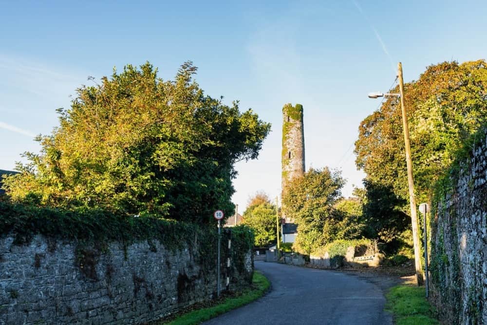 Round Tower (Site of)Castle, tower house · 529 yd
 St. Patrick's WellSpring · 572 yd
 Not shownRoad, road/trackway · 799 yd
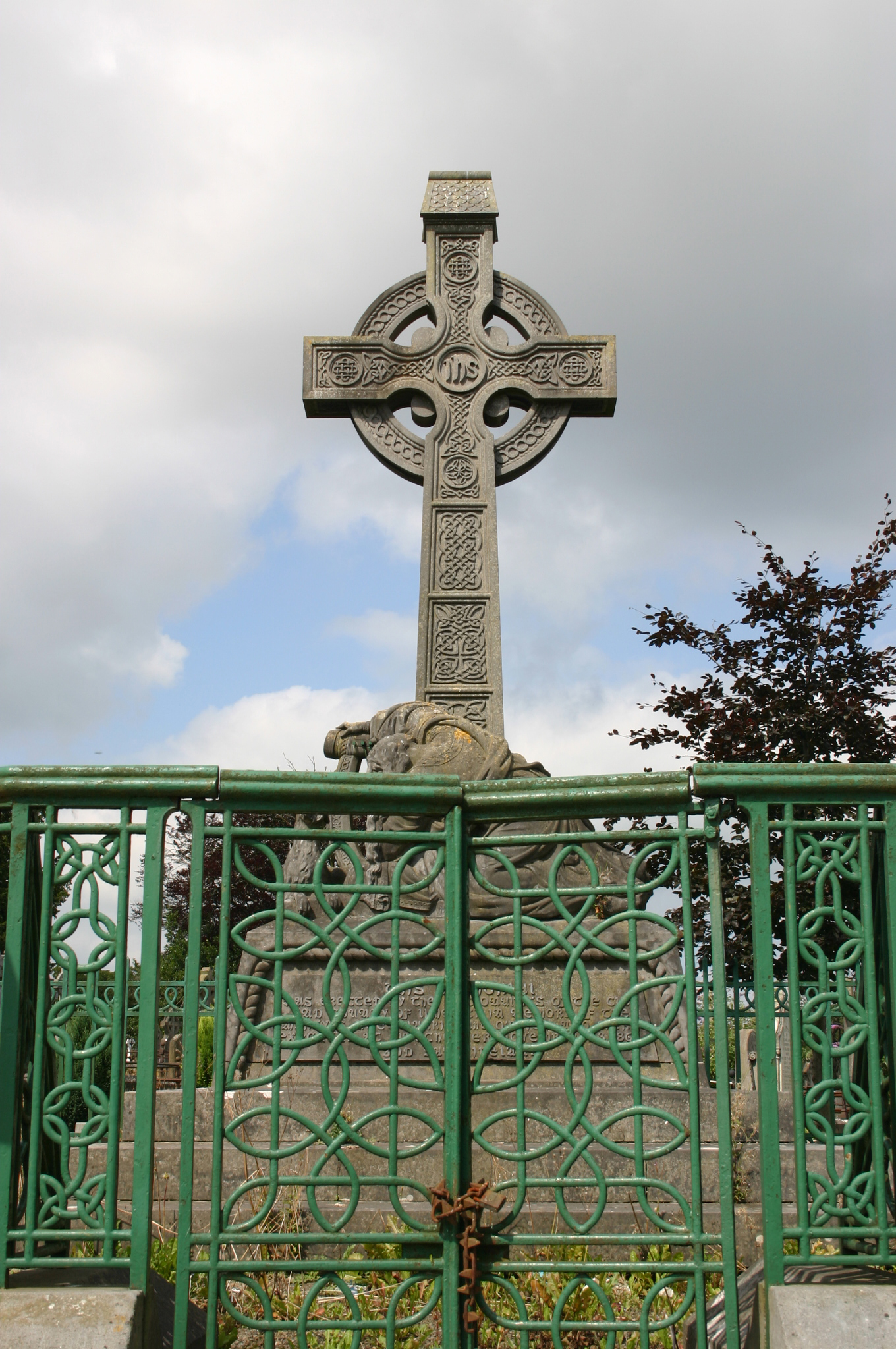 Mount Saint Lawrence Cemeterymonument · 936 yd
 Grave YardGraveyard · 1142 yd
 Lough Derg WayWalking route · 1575 yd
 Sarsfield Memorialmonument · 1667 yd
 CastleCastle, ringwork · 1685 yd
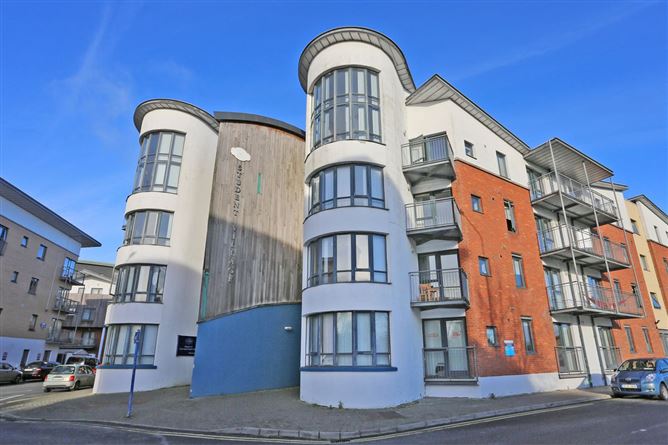 Grove IslandIslet · 1.1 mi
 University of Limerick FlagpostsHeritage attraction · 1.1 mi
 The Singer from QuimperMemorial · 1.3 mi