What is recorded here
Investigations in 1988 for Phase 2 of the NE Gas Pipeline revealed a sub-rectangular soil mark with traces of mortar. This was located on a low hill (Gowen 1989, 4).
Compiled by: Geraldine Stout
Date of upload: 26 August 2011
The monument record does not grant public access. Check the route and ask the landowner before entering private land.
- What survives
- Recorded monument
Places near here
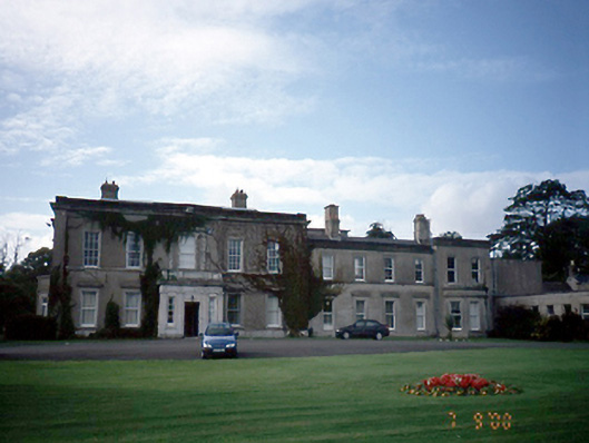 Abbotstowncountry house · 204 yd
 Coemhin, Church (in Ruins)Church · 653 yd
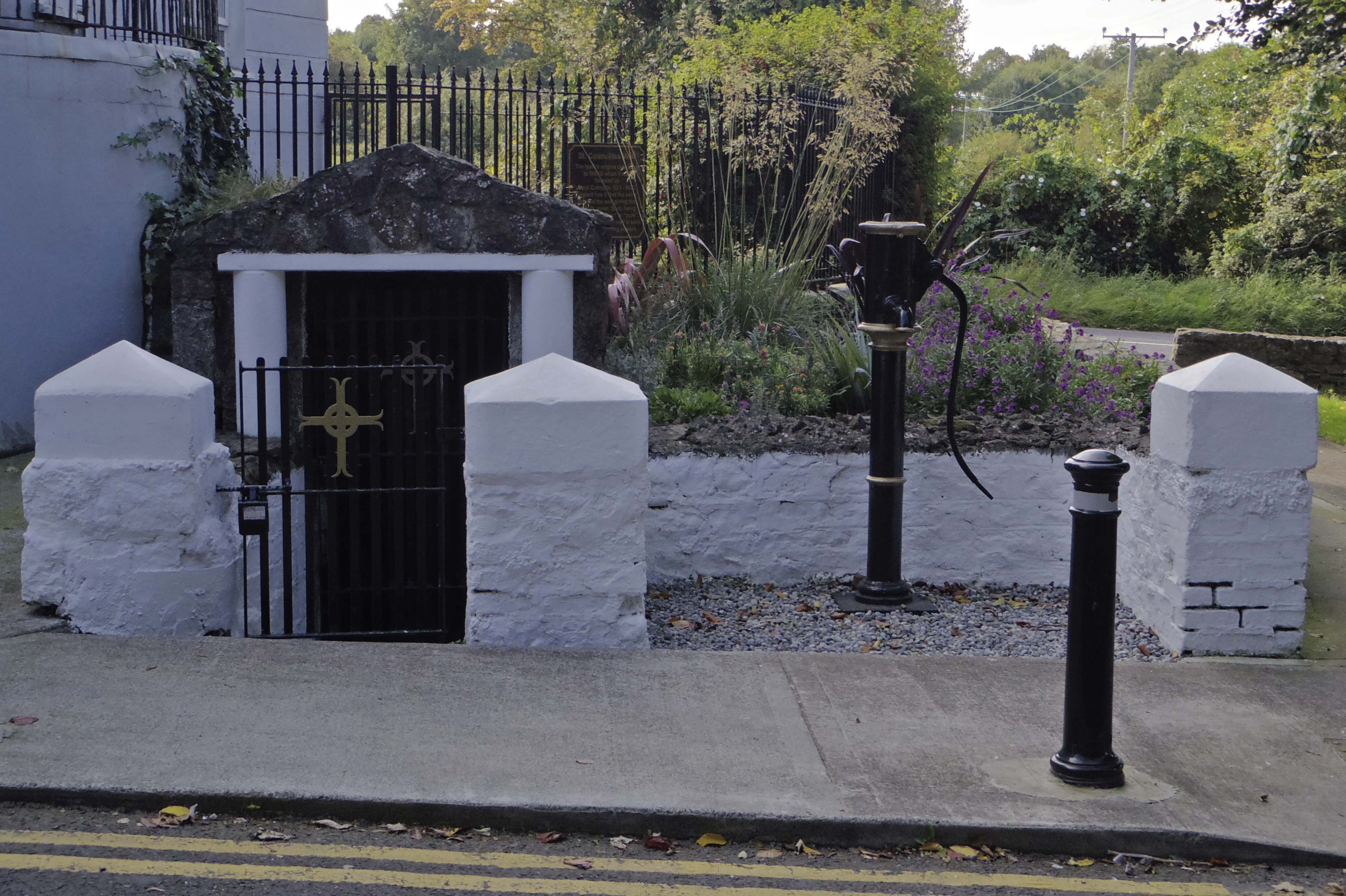 Holy well in AbbotstownHoly well · 664 yd
 Earthwork in DunsinkEarthwork · 695 yd
 Site of CastleCastle, tower house · 1422 yd
 Blanchardstown Centre information deskVisitor information · 1.4 mi
 Castle (site of)Castle, unclassified · 1.6 mi
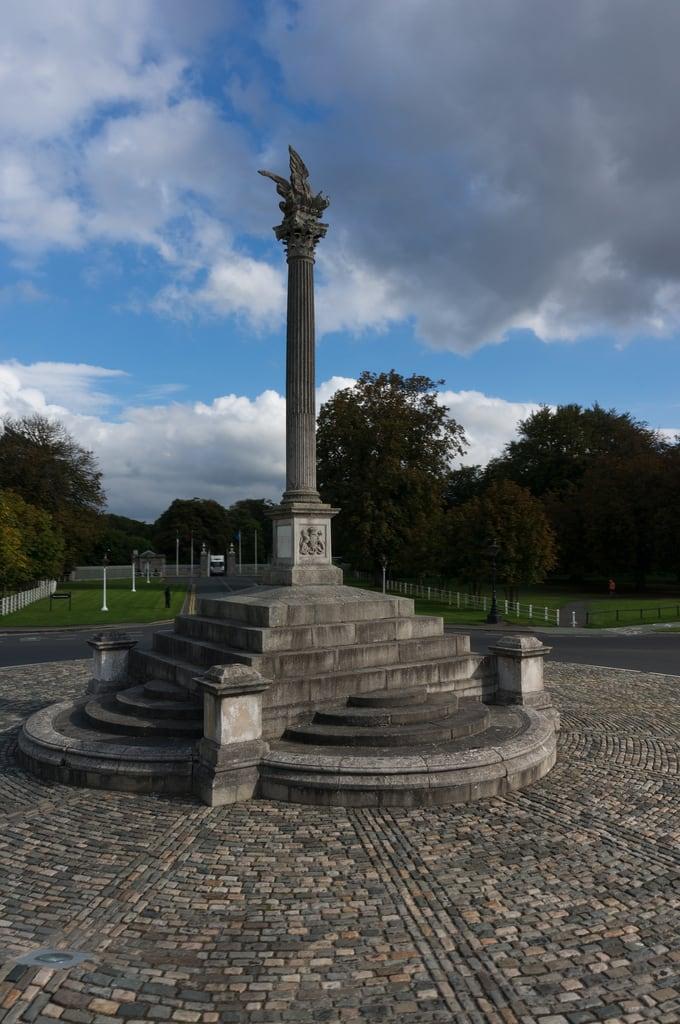 Martin Savage Memorial MonumentMonument · 1.8 mi
 Graveyard in BuzzardstownGraveyard · 1.8 mi
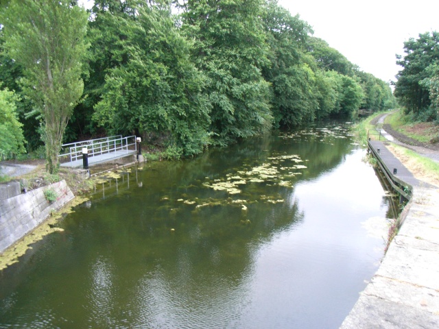 The Royal Canal WayWalking route · 1.9 mi
 National Famine WayWalking route · 1.9 mi
 TyrrelstownWood · 2.2 mi