What is recorded here
Baile Beag at NW end of island, near the seashore. A subcircular structure (N-S 11m) defined by low stone-revetted earthen bank abutting a low cliff along N and W.
The above description is derived from the published 'Archaeological Inventory of County Galway Vol. I - West Galway'. Compiled by Paul Gosling (Dublin: Stationery Office, 1993).
Date of upload: 05 August 2010
The monument record does not grant public access. Check the route and ask the landowner before entering private land.
- What survives
- Recorded monument
Places near here
 Church (in ruins)Church · 622 yd
 Crump IslandIslet · 966 yd
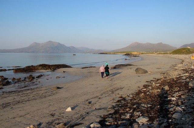 Renvyle BeachBeach / strand · 1466 yd
 IndicatedChurch · 1486 yd
 Bushy IslandIslet · 1678 yd
 Enclosure in CloonlooaunEnclosure · 1.1 mi
 Enclosure in ArdnagreevaghEnclosure · 1.8 mi
 Rinvyle Castle (in ruins)Castle, tower house · 1.9 mi
 Renvyle CastleCastle · 1.9 mi
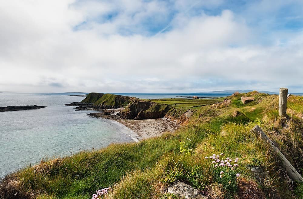 Rinvyle PointHeadland · 2.5 mi
 Tully MountainMountain / peak · 2.5 mi
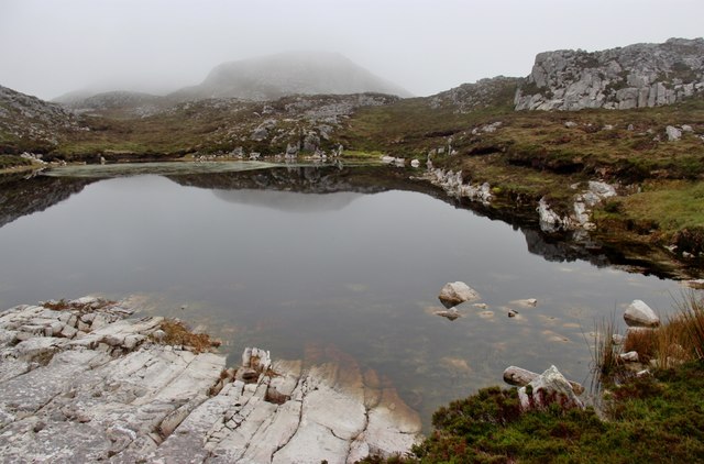 Tully Mountain WestMountain / peak · 2.5 mi