
What is recorded here
About 100m from the sea in an area of rough grassland and rock outcrop. Described by Kinahan (1869a, 282) as 'a small, nearly circular “Les” [sic] or clay fort, about 23 yards [21m] in diameter'. This was defined by a 'rampart and foss [sic]' but these features had 'been levelled and the ancient enclosure nearly obliterated'. Kinahan had been attracted to the site by the cromleac-like structure 'built in the S.S.W. part of the rampart': this wedge-tomb (GA009-002001-) is today incorporated into a possible remnant of the enclosure bank. (Killanin and Duignan 1967, 413)
The above description is derived from the published 'Archaeological Inventory of County Galway Vol. I - West Galway'. Compiled by Paul Gosling (Dublin: Stationery Office, 1993).
Date of upload: 05 August 2010
A local fairy fort (ringfort/rath); wider significance not recorded.
The monument record does not grant public access. Check the route and ask the landowner before entering private land.
- What survives
- Recorded monument
Places near here
 Rinvyle Castle (in ruins)Castle, tower house · 181 yd
 Renvyle CastleCastle · 183 yd
 Well of the Seven DaughtersHoly well · 401 yd
 Rinvyle Church . . . (in ruins)Church · 513 yd
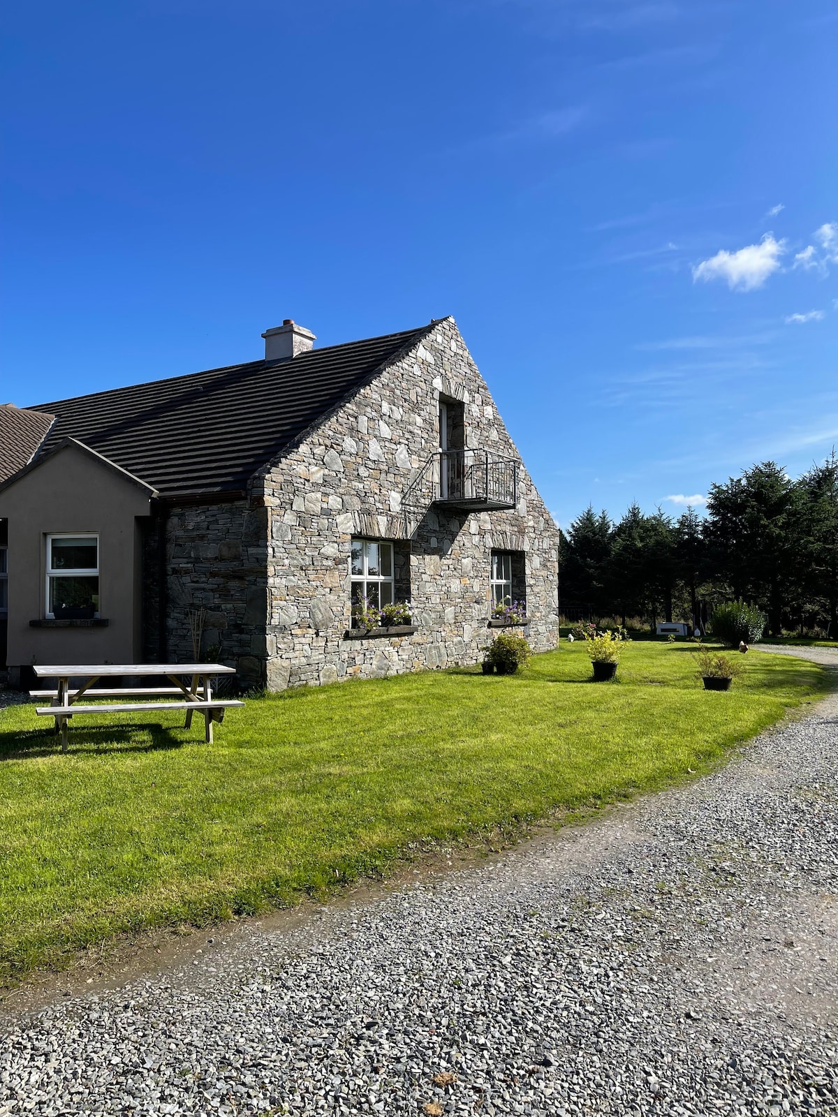 Fulacht fia in CashleenFulacht fia · 539 yd
 Freaghillaun NorthIslet · 1475 yd
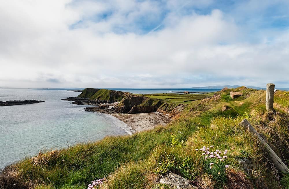 Rinvyle PointHeadland · 1511 yd
 Green IslandIslet · 1759 yd
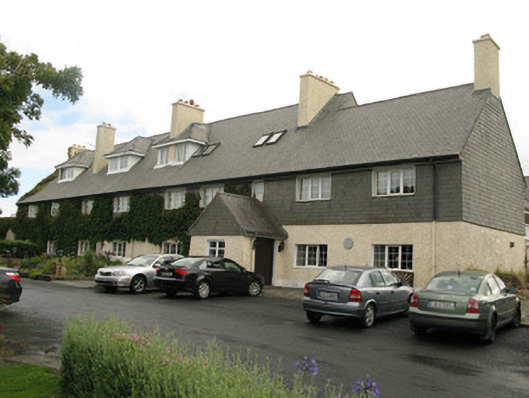 Renvyle House Hotelhotel · 1.1 mi
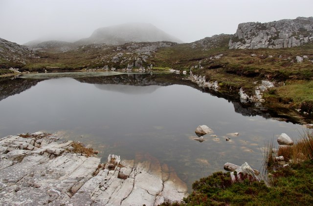 Tully Mountain WestMountain / peak · 1.4 mi
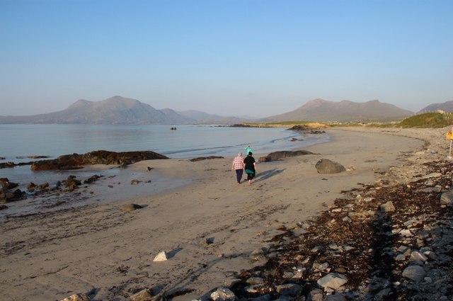 Renvyle BeachBeach / strand · 1.8 mi
 Tully MountainMountain / peak · 1.8 mi
Other information
Photo: Credit not shown in the picture search · Rights wording not checked; contact us if this picture should be removed